After consulting with the public about this SAP, we have put it on hold while we consider the feedback. We need to do more work to make sure the plan properly responds to the challenges of coastal processes, climate change, erosion and flooding in the city centre.
About the Auckland Central SAP
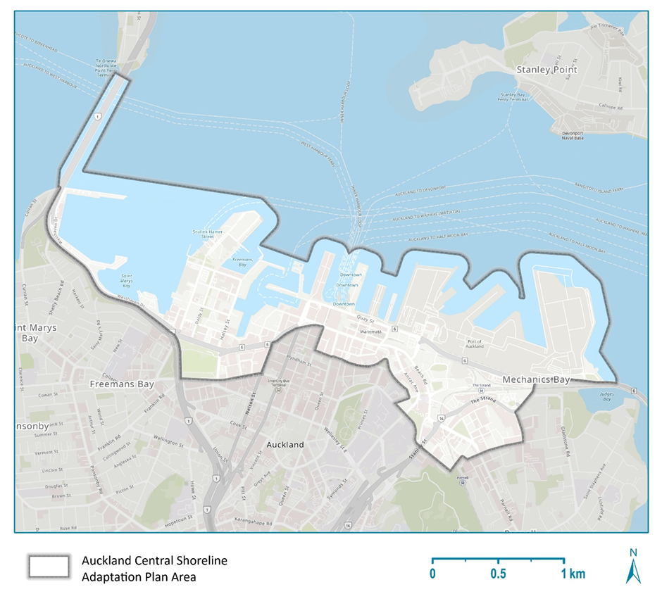
This SAP covers the coastline in the Waitematā Local Board area. This coastline includes reclaimed land Land created by filling in areas of water, such as part of a harbour, estuary or wetland, to make solid ground. made from materials like mudcrete Mudcrete is a mix of harbour mud, cement and sometimes sand or gravel..
The SAP area covered includes, but is not limited to:
- Westhaven
- St Marys Bay
- Wynard Quarter
- Victoria Park
- Viaduct Harbour
- Central Waterfront (Waitematā Station and Downtown area)
- Port of Auckland Mechanics Bay.