Māngere Foreshore Path

Cycling time 90 mins

Distance 14 km

Starts at 43 Ambury Road, Mangere Bridge, Mangere

Get directions on Google Maps

About the path

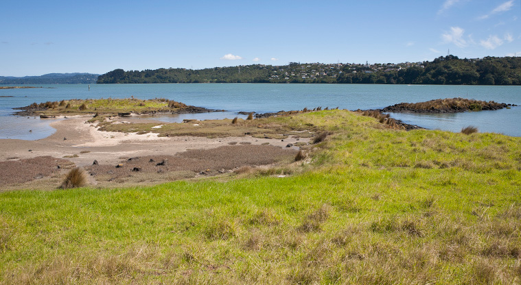
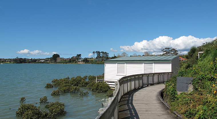
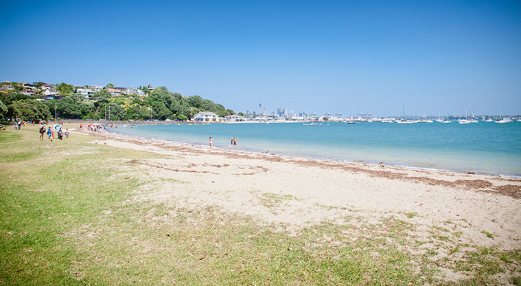
This path offers a unique experience along the foreshore of the Manukau Harbour.

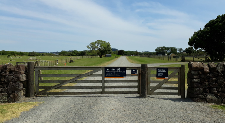
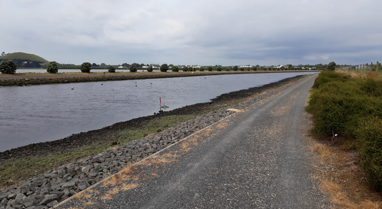
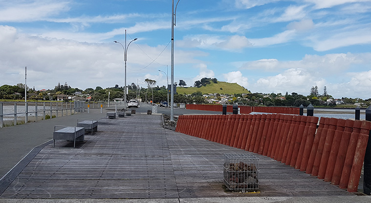
The path starts in Ambury Regional Park and winds along a gravel path along the coastal edge. There are also other parking spaces along the path if you choose to start elsewhere.

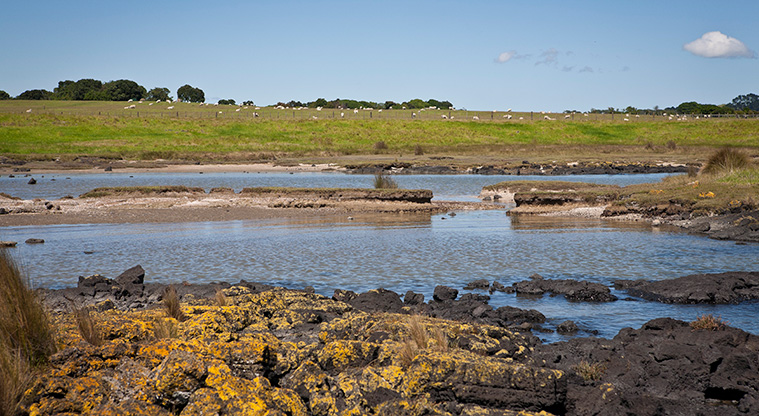
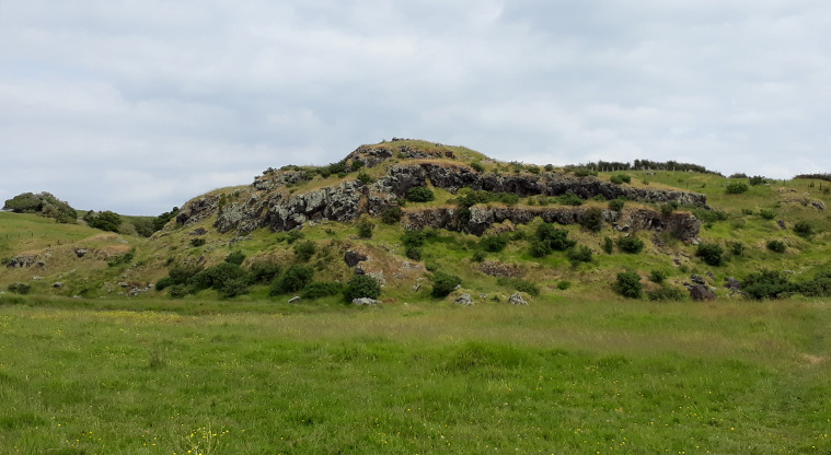
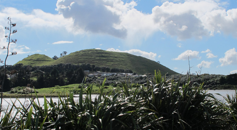
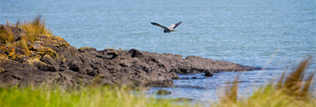
The foreshore has several examples of volcanic activity, including remnants of lava flows running into the harbour, and the Māngere Lagoon explosion crater.

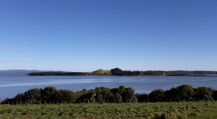
You'll also find the Villa Maria vineyard and winery is alongside the path, which provides great vistas to Puketutu Island.

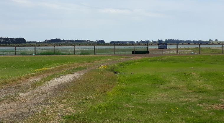
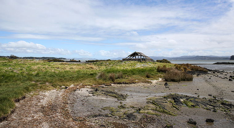
There are multiple bird roosts which have been established along the coast and some great information signage about the birds that migrate to this area. The foreshore is an extremely important habitat for a range of migratory birds.

The path is largely flat, but will require a moderate level of confidence to negotiate.

Facilities

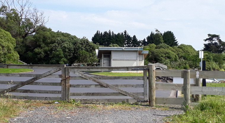
  • Public toilet

 Related topics


Protect our kauri treeshttps://www.aucklandcouncil.govt.nz/environment/plants-animals/protect-trees-disease/protect-our-kauri-treesProtect our kauri treesKauri trees are under the threat of kauri dieback disease. Find out which tracks are currently open or closed and how we can work together to protect our trees.aspx


Rules for dogs in public placeshttps://www.aucklandcouncil.govt.nz/dogs-animals/guide-for-dog-owners/Pages/rules-dogs-public-places.aspxRules for dogs in public placesDog walking rules for the entire Auckland region. Find out where you can and cannot walk your dog.aspxAnimals Dogs Dog walking area