Waharau Bush Track
Track closed for remedial work
The Waharau Bush Track is closed until further notice.
If you have any concerns, please phone the park duty ranger on 09 301 0101.
Park open following aerial pest control operations
Waharau Regional Park is now open.
Visit How we protect the Hunua Ranges from pests for safety tips and how to keep your dog safe over the next 6 months.


![]() Starts at Waharau Regional Park
Starts at Waharau Regional Park
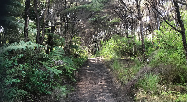
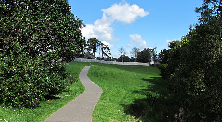
About the path
This gentle, short walk through regenerating forest in Waharau Regional Park is ideal for inexperienced bushwalkers.
Start at the information building. Follow the green markers through the kānuka dominated forest and tree ferns.
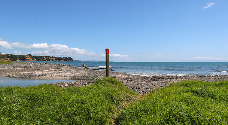
After your bush walk, there is plenty to see and do. Visit the small beach and enjoy views over the Firth of Thames / Tīkapa Moana towards the Coromandel Peninsula. Look out for sea and shore birds, including spotted shags (pārekareka), New Zealand dotterels (tūturiwhatu) and oystercatchers (tōrea).
Bring a picnic or use the wood and gas barbecues provided (bring your own wood).
If you want to keep exploring, join up with one of the rugged tramping tracks towards the Hunua Ranges.
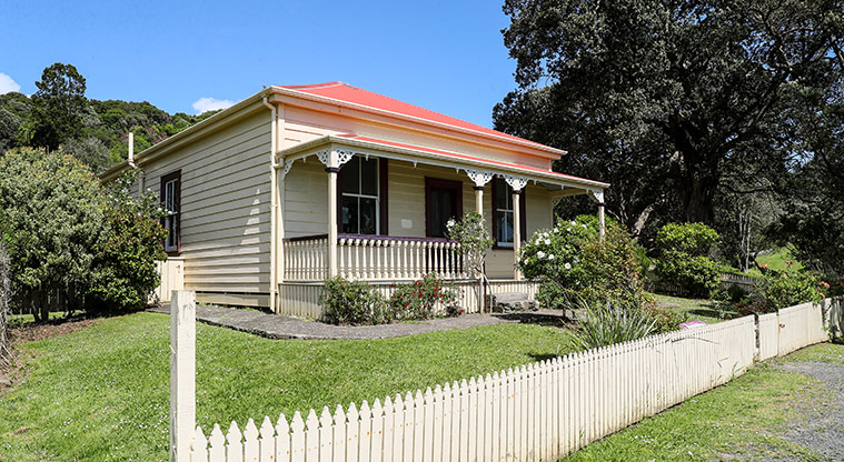
Located on the eastern side of the rugged Hunua Ranges, Waharau Regional Park extends from the range to the coast. The Māori name Waharau means 'the ever-changing stream mouth' and refers to the stream that winds its way down from the eastern Hunua Ranges and flows out into the Firth of Thames.