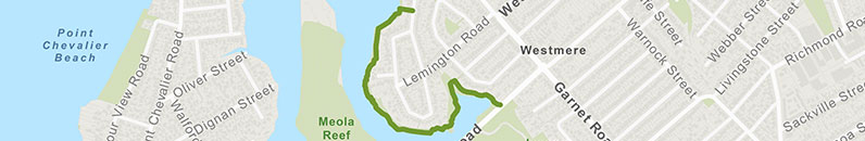
Weona-Westmere Path
![]() Starts at Weona-Westmere Walkway, Westmere
Starts at Weona-Westmere Walkway, Westmere
About the path
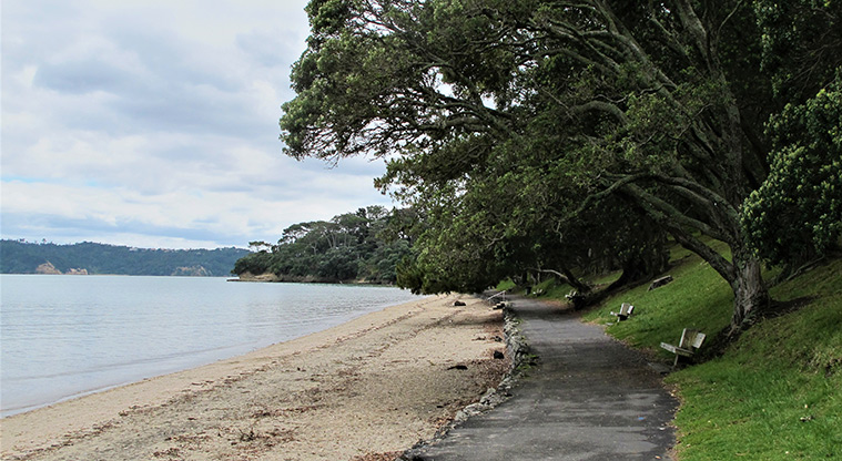
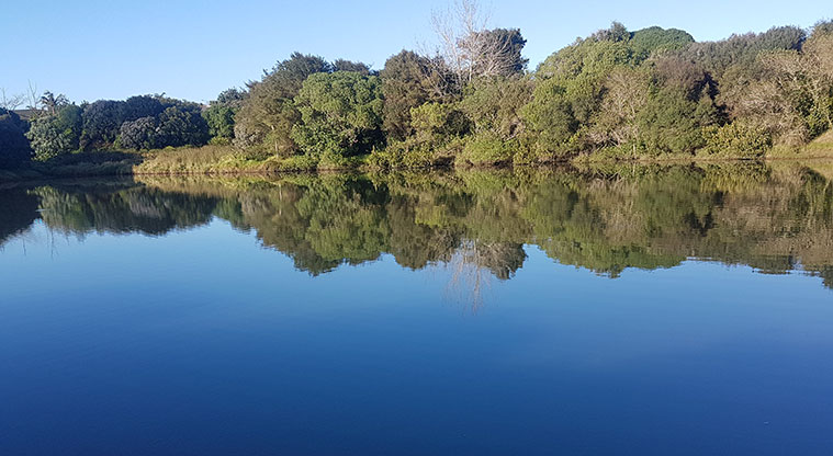
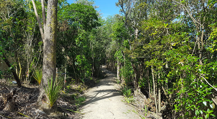
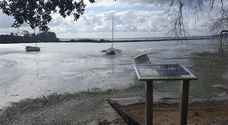
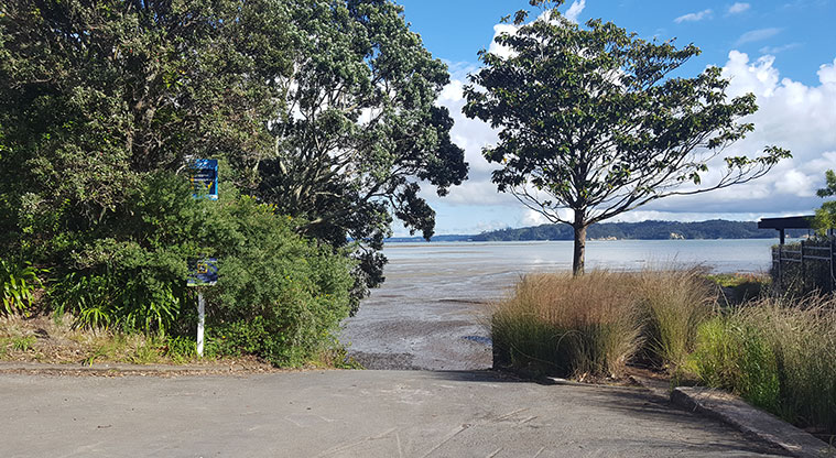
Westmere Coastal walkway runs along the edge of the Western Springs Creek estuary.
You'll hear birdsong as you pass through mangroves, pōhutukawa, nīkau, kowhai and cabbage trees.
The path has several access points:
- Westmere Park Avenue (via steps)
- Weona Place
- Lemington Road
- Westmere Crescent.
There is plenty of on-street parking in the area.
You can extend the walk to Old Mill Road, through Jaggers Bush.
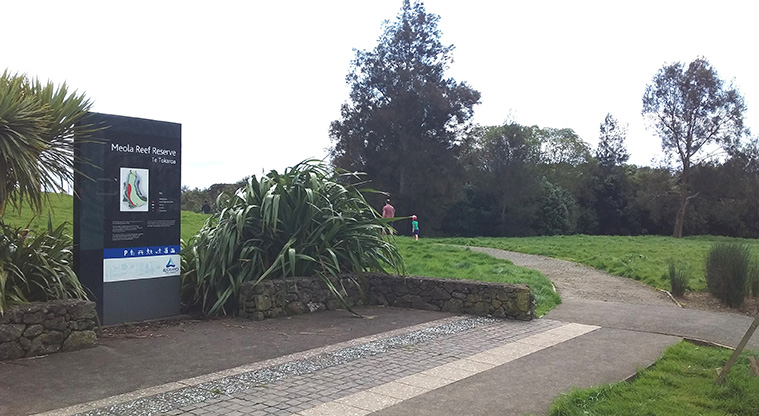
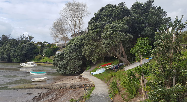
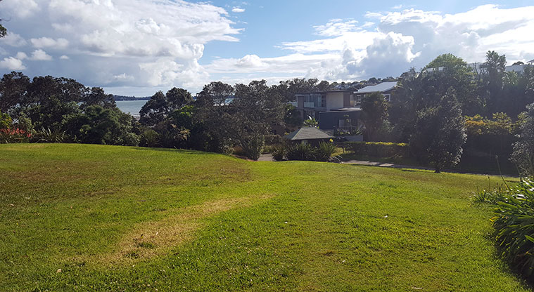
It's an easy walk that provides great views to the wider Waitemata Harbour, Meola Reef Reserve (Te Tokoroa) and the Pt Chevalier Peninsula.
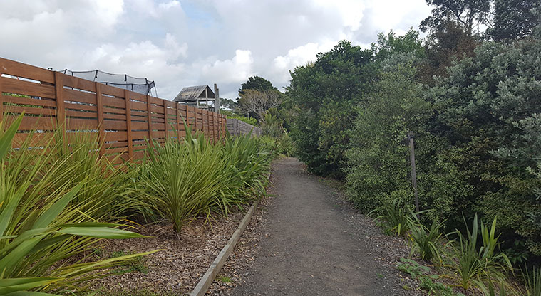
The walkway is a mix of gravel, concrete and dirt and gently rolls.
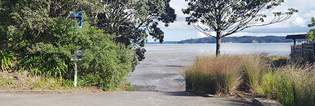
Access between Westmere Park and the Westmere Park Avenue connection is at low tide only. As it is an inter-tidal zone it can remain wet.
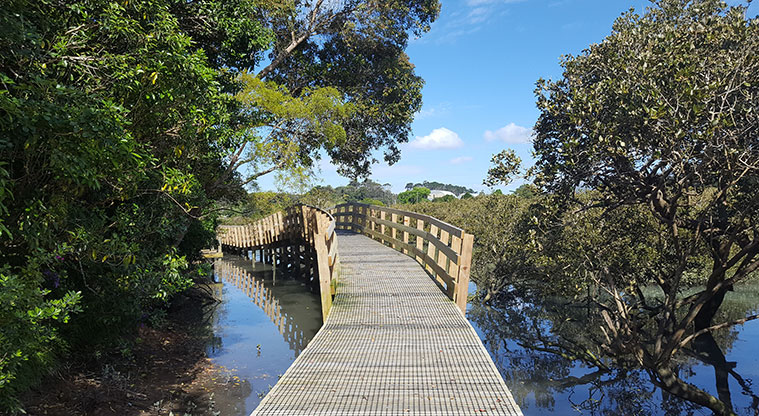
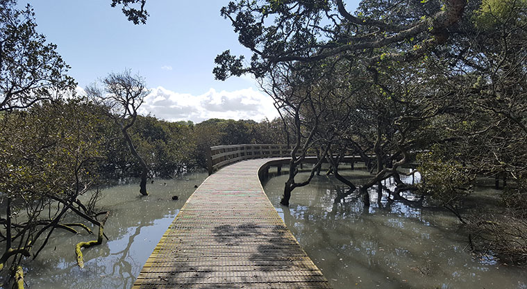
The southern portion has a boardwalk which runs beside the Western Springs Creek through the mangroves. This section is nice to walk at high tide.
There is no cycling and dogs must be under control on a leash at all times.