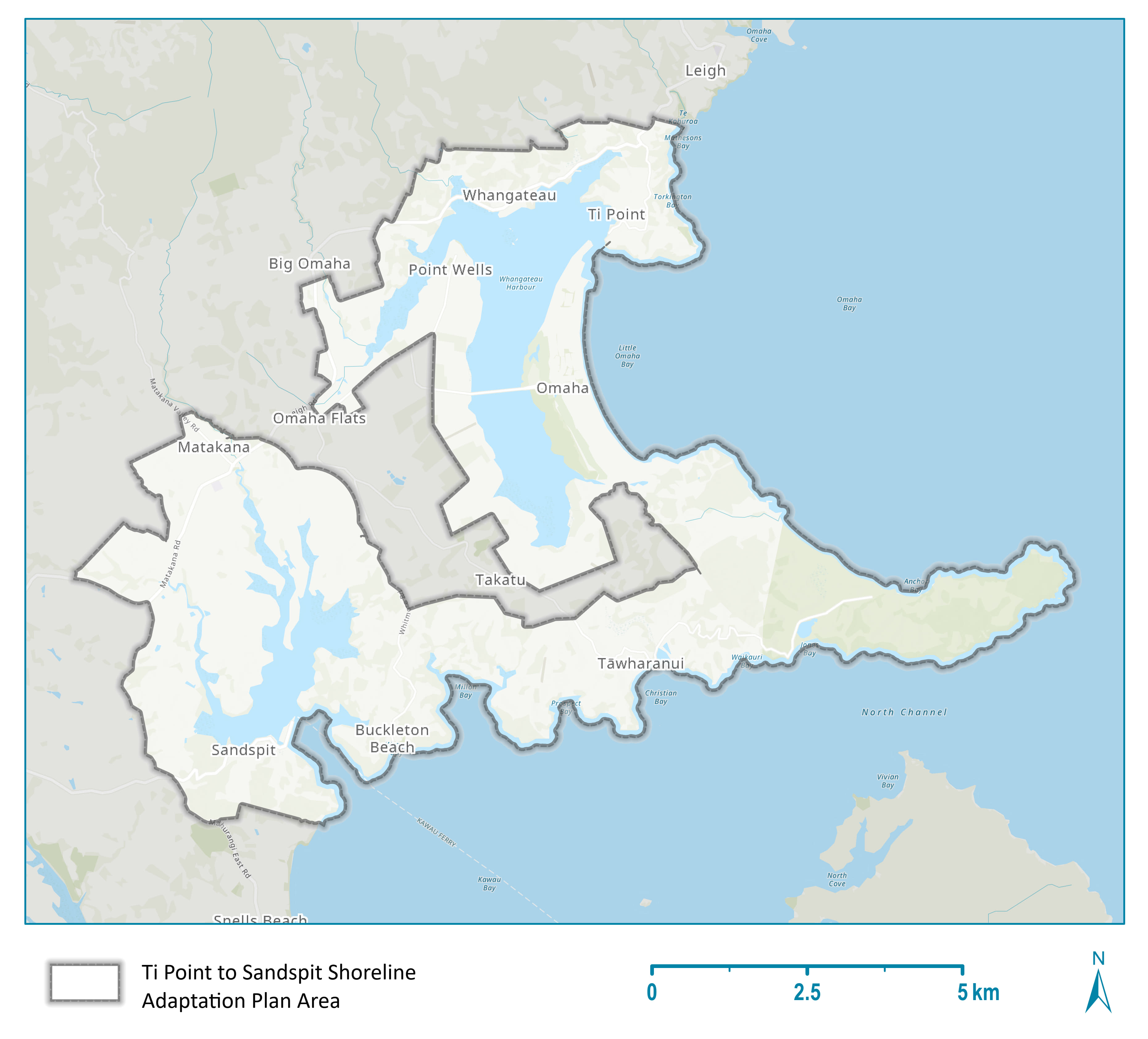
The Ti Point to Sandspit Shoreline Adaptation Plan (SAP) considers the future of council-owned land and assets across the region's coastal areas in response to the impacts of climate change, erosion and flooding.
About Ti Point to Sandspit SAP
The Rodney Local Board endorsed this SAP in July 2025.
This SAP covers the area from the south of Mathesons Bay, including Ti Point and follows the coastline of Ōmaha Bay, Whangateau Harbour and Kawau Bay south to Sandspit and Brick Bay.
It includes, but is not limited to:
- Ti Point
- Whangateau
- Point Wells
- Ōmaha
- Takatu
- Tāwharanui
- Buckleton Beach
- Sandspit
- Matakana.