Te Atatū to City Path

![]() Starts at 477 Te Atatu Road, Te Atatu Peninsula
Starts at 477 Te Atatu Road, Te Atatu Peninsula
About the path
A fantastic commuter route between Te Atatū and Auckland city centre, that is almost entirely separated from traffic.
Skip the traffic, get some exercise and be in town in around 45 minutes each way.
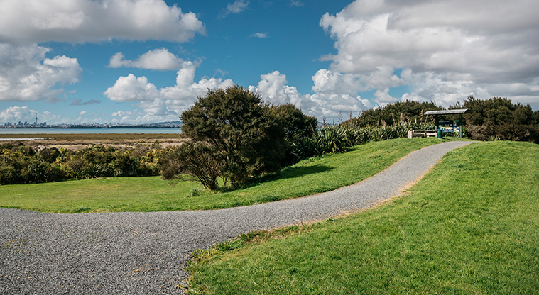
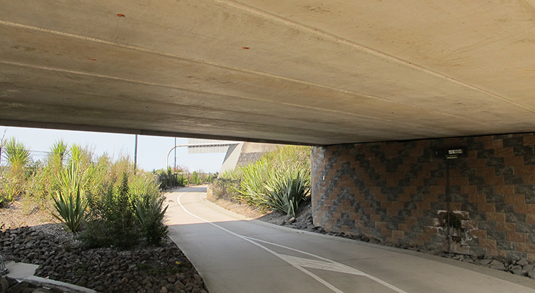
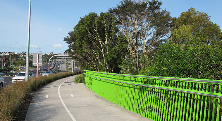
Start on Te Atatū Road in Te Atatū Peninsula and follow the path over the overbridge and onto the Northwestern cycleway. You can also join the path from McCormick Road in Te Atatū South.
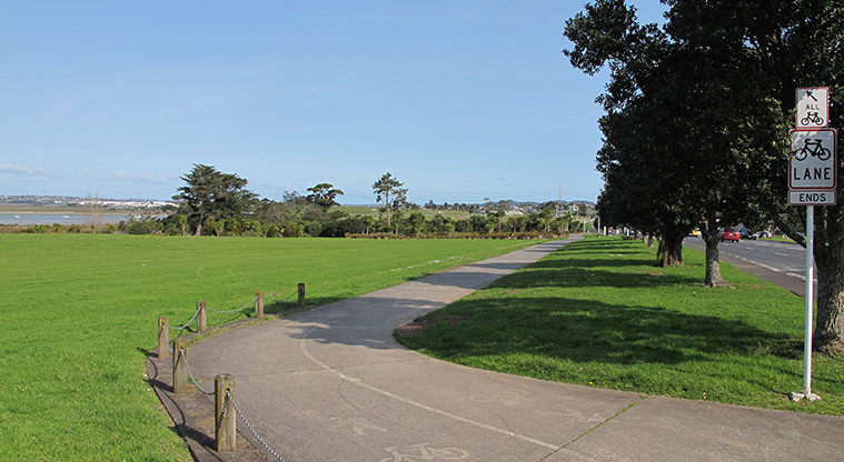
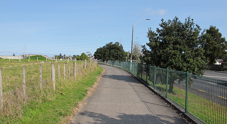
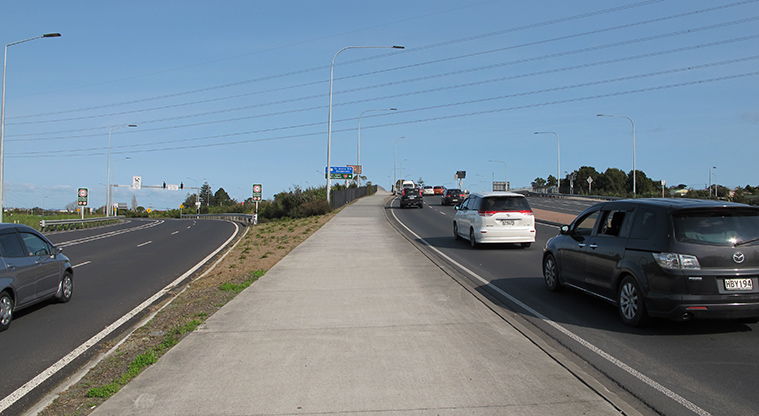
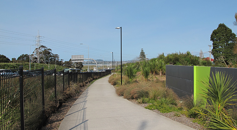
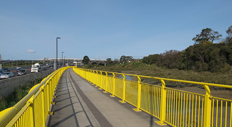
Follow the dedicated Northwestern cycleway alongside the motorway.
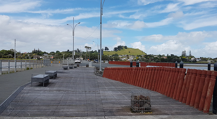
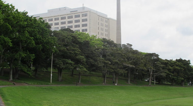
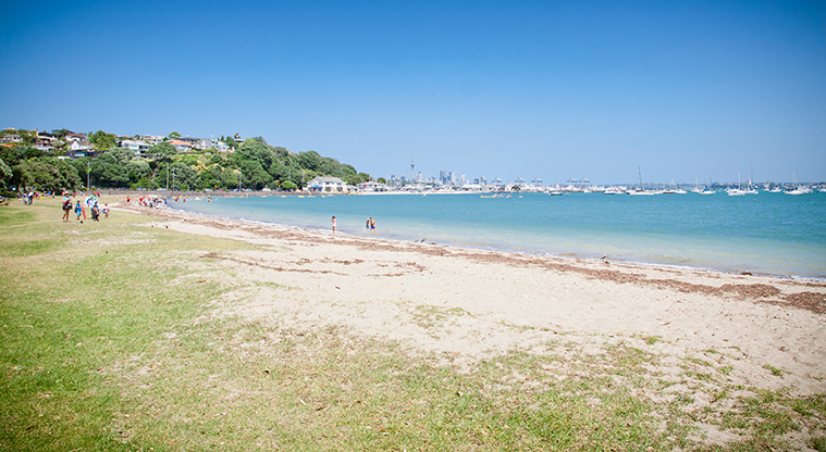
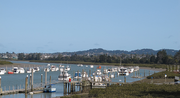
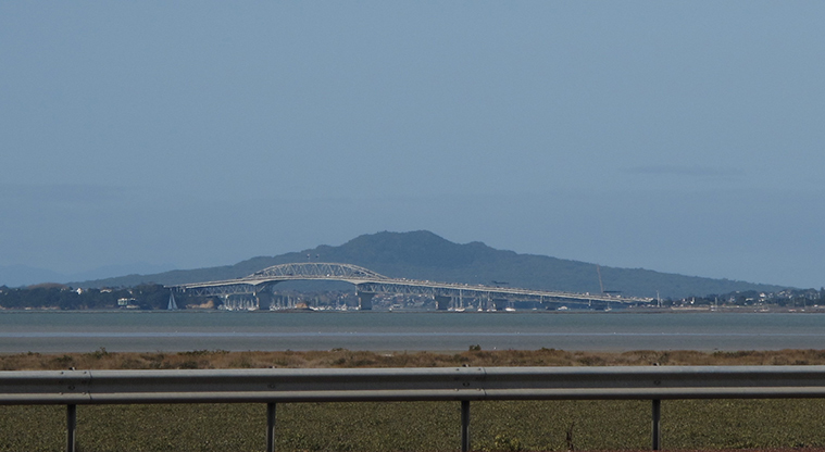
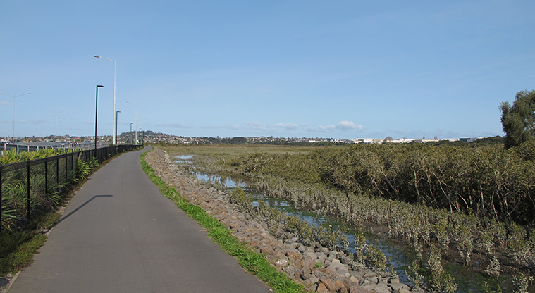
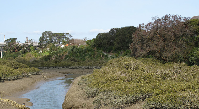
Along the way, you will see some great views of the Whau River and Motu Manawa – Pollen Island Marine Reserve. You can also see to Rangitoto Island and the Auckland Harbour Bridge.
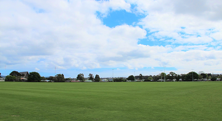
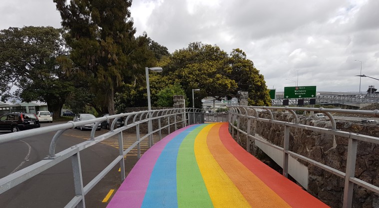
You will get to cycle along the Rainbow Path, which runs for nearly 500m next to the Unitech campus in Mt Albert.
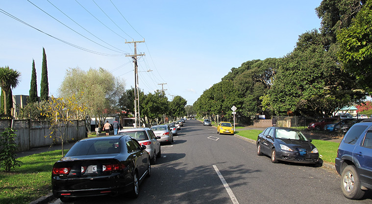
At Pt Chevalier, there is a short on-road section to ride on Sutherland Road before the off-road cycleway continues again. If you are looking for a skate park and basketball court on the way, Nixon Park is close by the path just as you come under the Bond Street bridge. There is also a public toilet here.
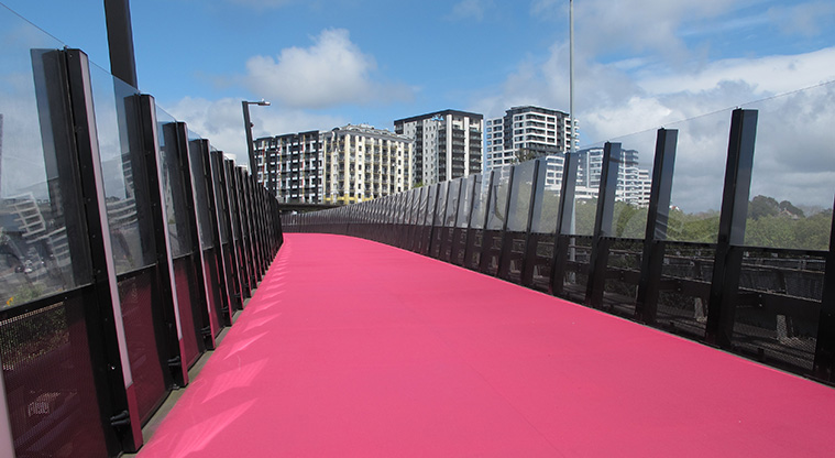
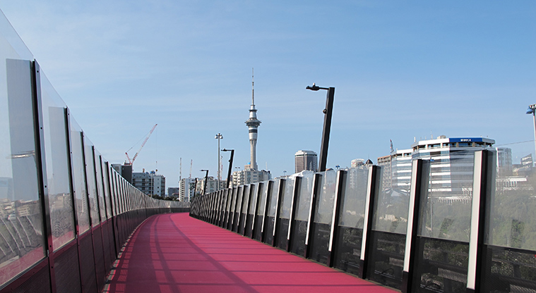
When you reach Upper Queen Street, cruise along the pink Light Path (Te Ara I Whiti) and admire the Auckland city skyline. Māori designs including a large koru pattern ensure the Light Path has a distinctly New Zealand identity.
Continue to downtown Auckland by heading down the dedicated cycle lane on Nelson Street.