Our online mapping services will be unavailable from 6pm-10pm on Wednesday 18 February.

Medlands Beach Path
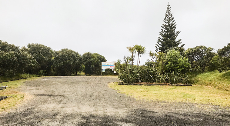
Medlands Beach Path - The car park at the end of Oruawharo Lane has a toilet.

![]() Starts at 125 Sandhills Road, Great Barrier Island
Starts at 125 Sandhills Road, Great Barrier Island
About the path
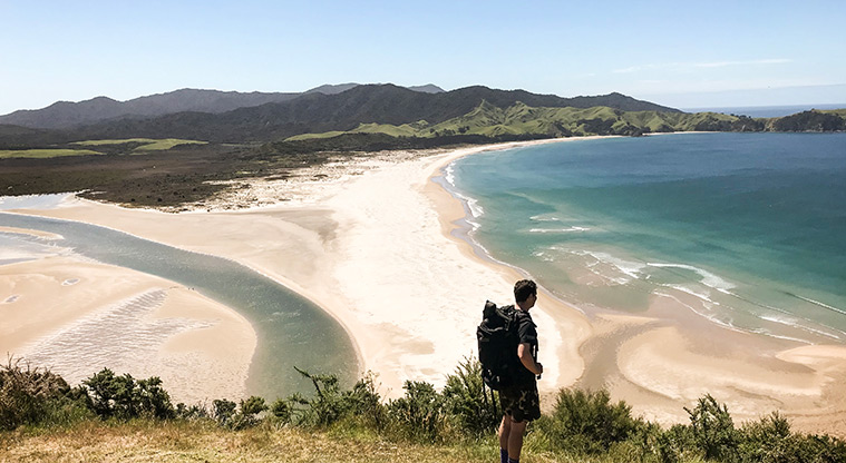
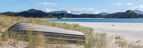
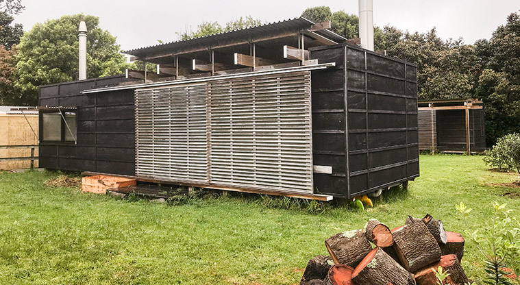
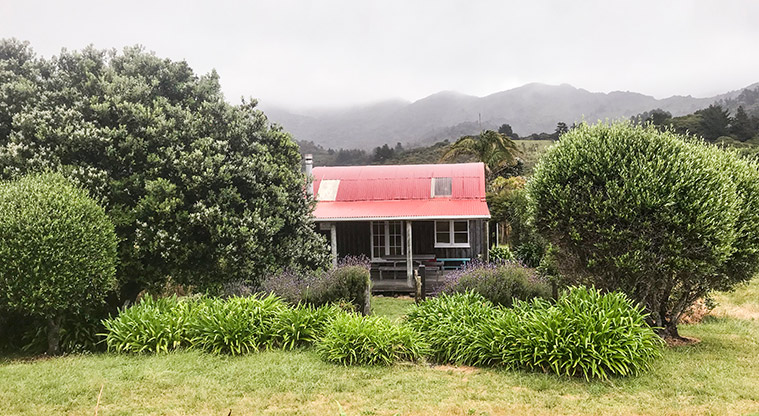
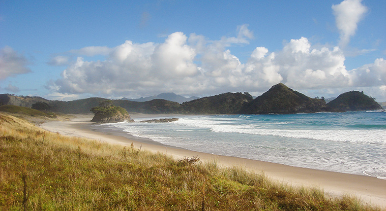
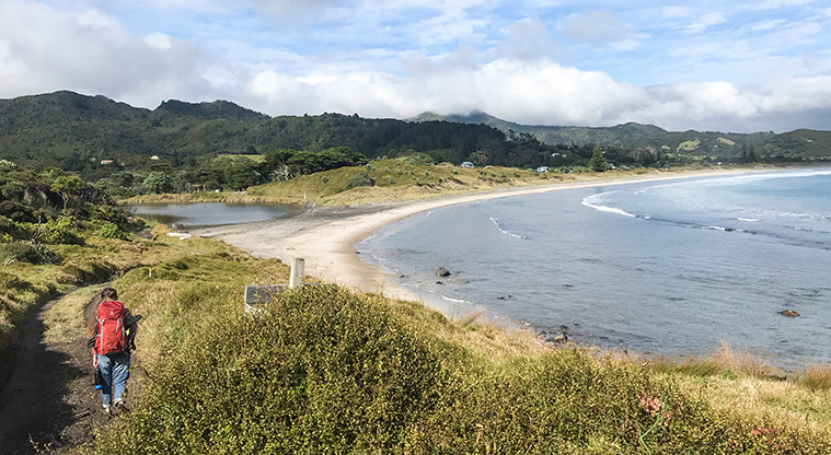
There are many glorious beaches on Great Barrier Island, but Medlands Beach is the most accessible. As you walk the length of the beach, you can marvel at the many baches, nestled behind the dunes. Some are nicely tucked away from the on-shore breeze, others elevated to make the most of the stunning view.
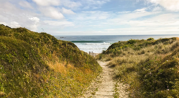
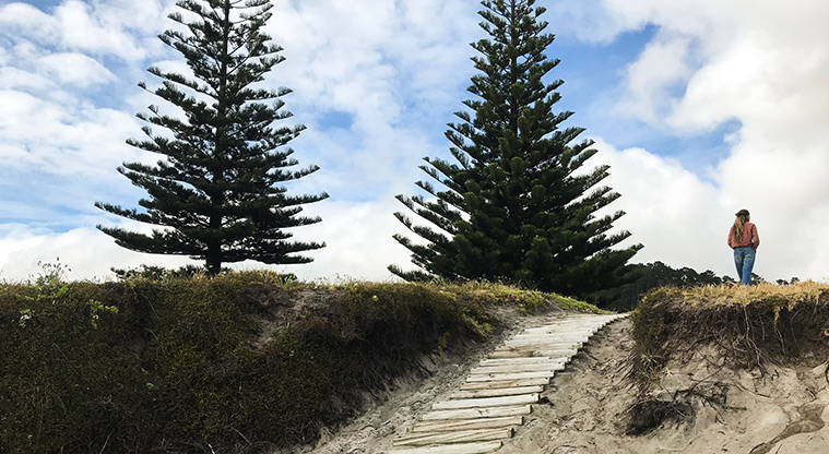
You can shorten the walk by taking one of the paths through the dunes, most are marked by a big tree and posts or a sand ladder.
On a bike? Stick to the road and walk out to the beach.
Start at the middle of the beach, at the end of Oruawharo Lane. Head north along Sandhills Road, right to the end.
At the end of the road, turn right into the dunes, and follow the orange markers until you get to the beach. It's not far to the very northern point called Sugarloaf. Please note this is private land, so stick to the beach.
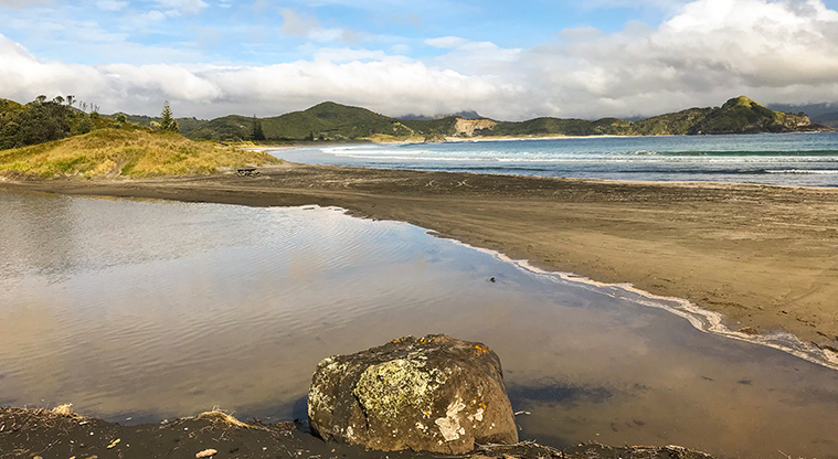
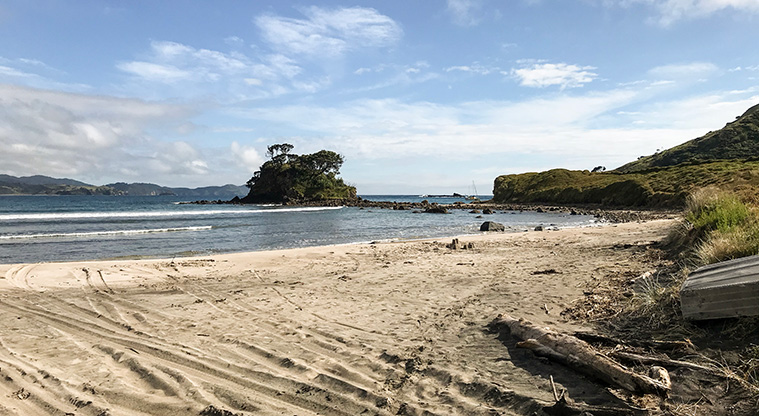
At low tide you can take in the full glory of Oruawharo Bay while easily walking on the hard, wet sand.
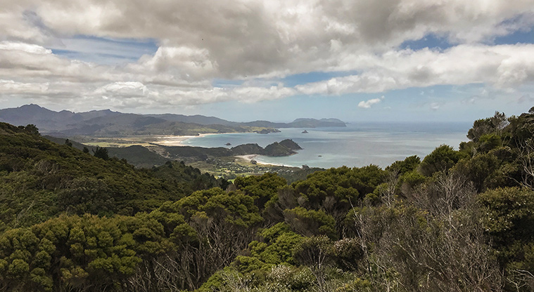
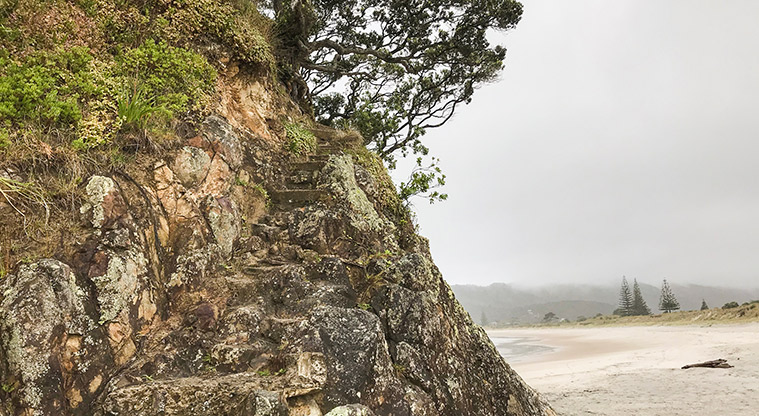
Halfway along is Medlands Rock, if you’re not afraid of heights you can clamber up the informal track and enjoy the view, but this is not for the faint hearted.
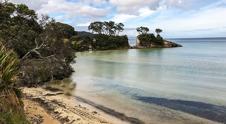
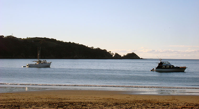
Otherwise, keep going, right to the end of the beach, near Shark Alley, a popular swimming and boat launching spot, as it is sheltered from the prevailing winds.
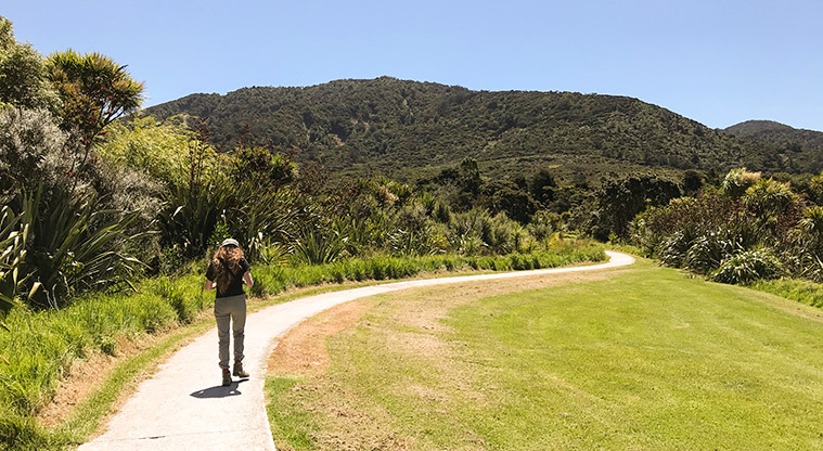
Turn right, either side of the stream, spot some pāteke (brown teal ducks) in the stream and walk back up Sandhills Road past the Department of Conservation (DOC) campground.
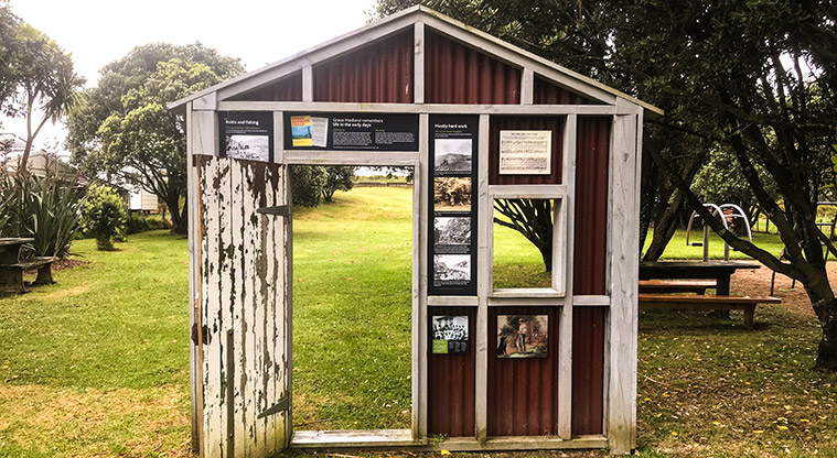
Near the end of your walk, make sure you have a look at the playground at Medlands Playground Reserve on the left, it has a nice surprise. A mini house facade hides intriguing information about some of the early settler families that farmed and named the area.
Medlands Beach is always worth a visit, even on a windy, rainy day.