Waitawa Kererū Loop


![]() Starts at 1329-1191 Clevedon-Kawakawa Road, Kawakawa Bay
Starts at 1329-1191 Clevedon-Kawakawa Road, Kawakawa Bay
About the path
Explore the stunning Waitawa Regional Park, a park that was planned and developed with outdoor activities, exercise and fun in mind.
The Kererū Loop is the shortest of the park's loops, made up of a series of tracks which is named after the kererū (New Zealand pigeon) you might see along the track.
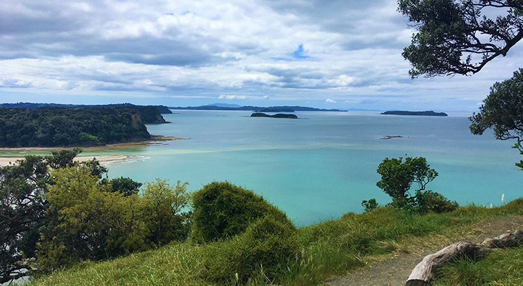
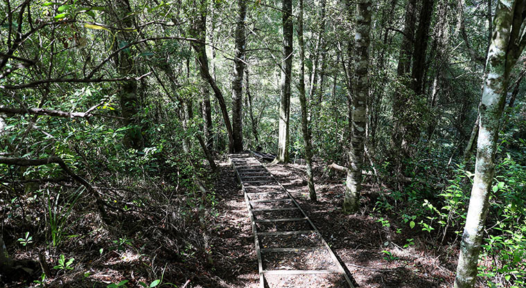
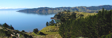
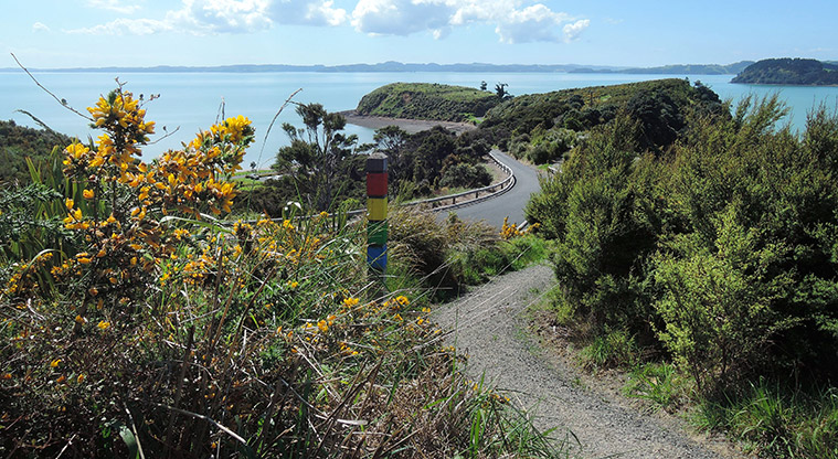
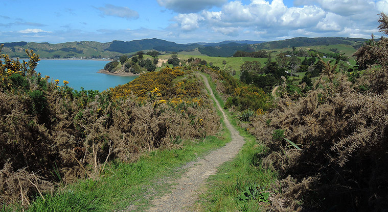
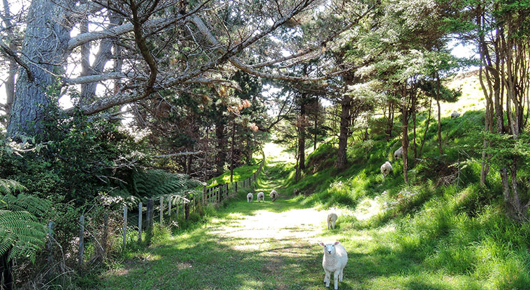
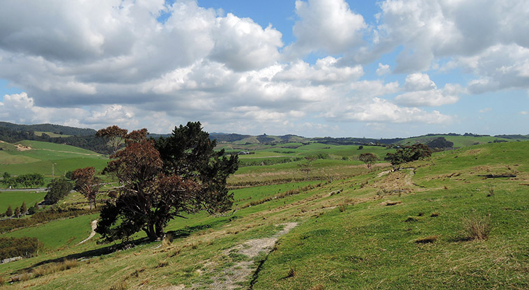
Start at Mātaitai Bay and follow the green track markers as you walk on grass and gravel tracks. The track runs through native forest, then along the ridgeline with great views across farmland on both sides. Chances are you'll get to meet some of the sheep that graze on the park.
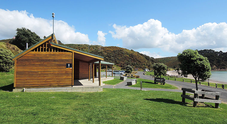
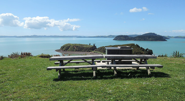
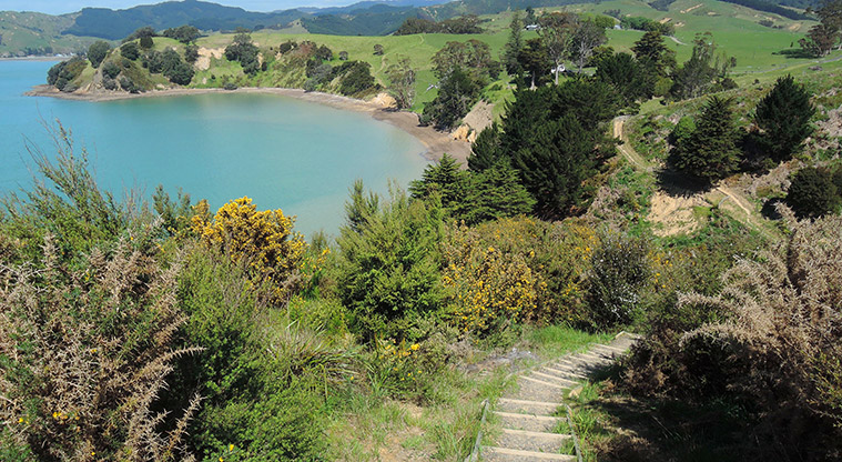
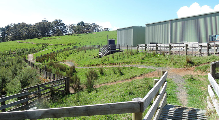
After a short walk through the bush and revegetation, you will cross the main park and walk behind the Hoiho Horse park area where there is a toilet. The track then descends to a sheltered picnic area with public toilets.
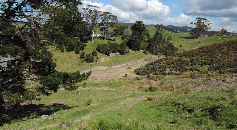
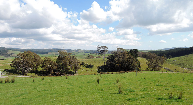
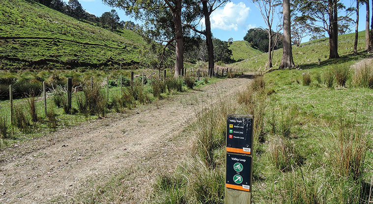
Continue along the Valley Track, following wetlands to the head of the valley before a short climb up to the road near Tīkapa Moana car park. Here you'll re-join the Waitawa Bay Track for the descent back to Mātaitai Bay.
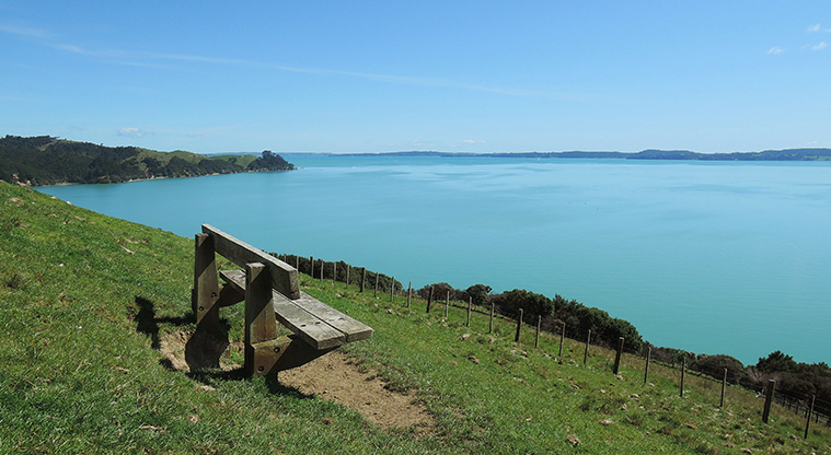
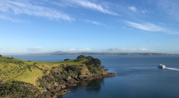
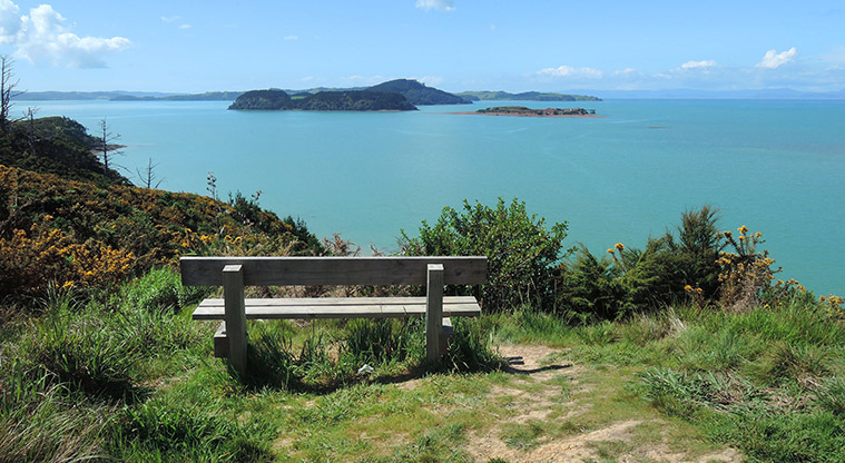
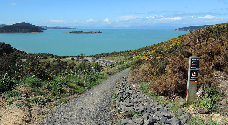
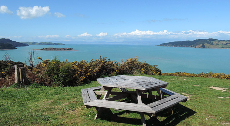
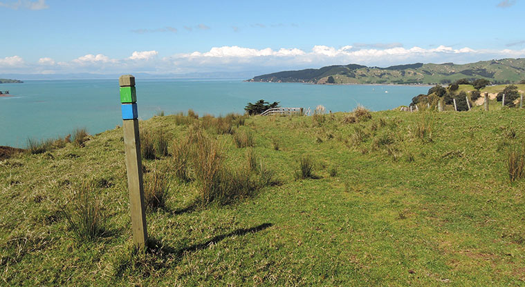
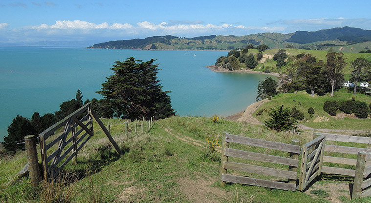
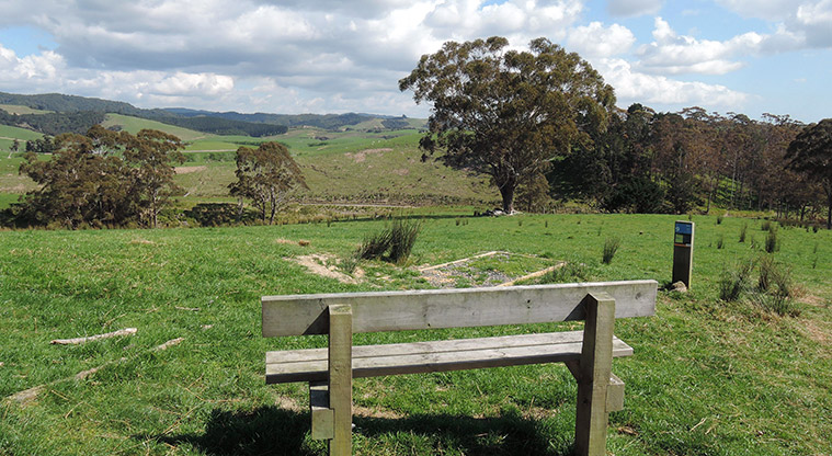
There is plenty of seating along the track to catch your breath and enjoy the spectacular coastal views of the Hauraki Gulf. You can see to Pakihi, Ponui and Waiheke Islands.
Look out for the information panels that tell the story of Waitawa.
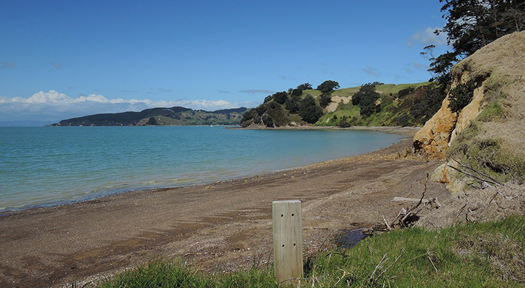
Mātaitai Bay and Waitawa Bay offer safe swimming beaches.
Do not jump from Waitawa Wharf, it is not safe due to strong currents, shallow water and submerged rocks.