Our online mapping services will be unavailable from 6pm-10pm on Wednesday 18 February.

Scandrett Mullet Point Path
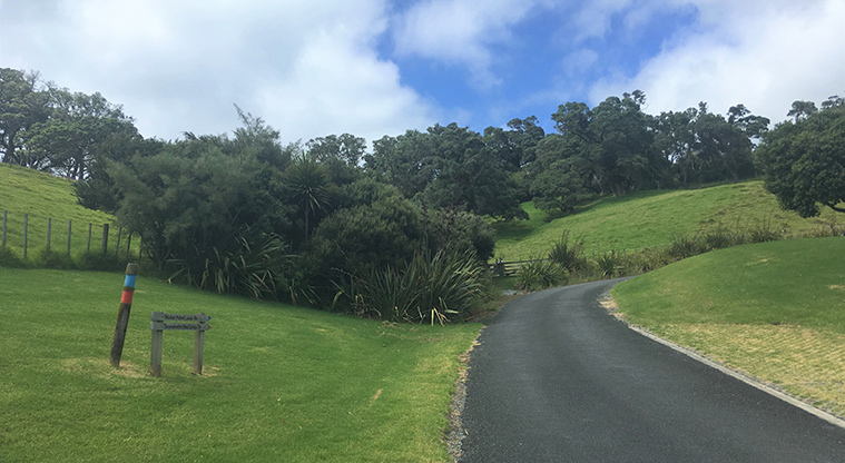
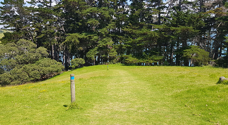
Scandretts Mullet Point Path - Walk up the road and follow the blue track markers.


![]() Starts at 114 Scandrett Road, Mahurangi East
Starts at 114 Scandrett Road, Mahurangi East
About the path
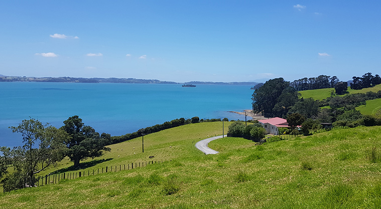
Explore Scandrett Regional Park on Auckland's Mahurangi Peninsula.
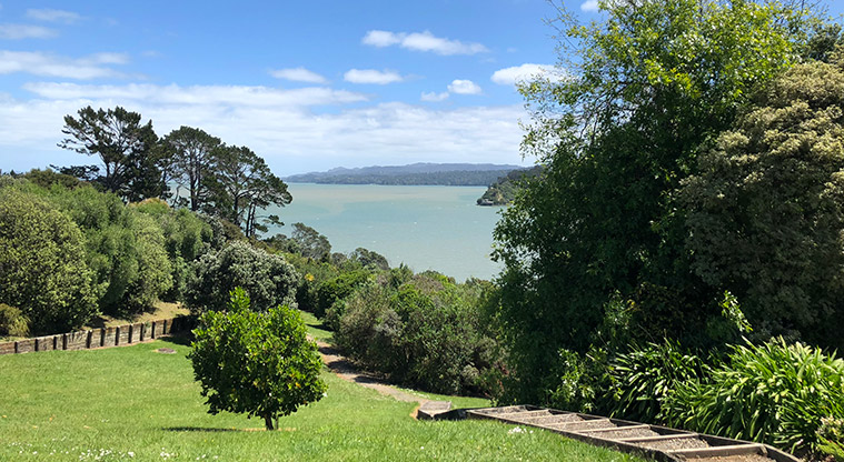
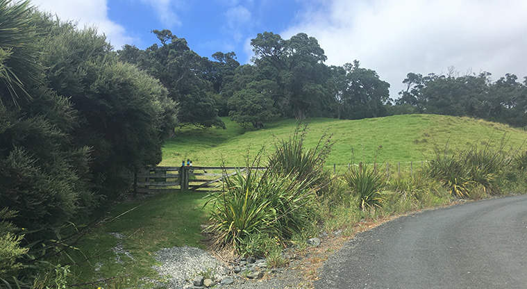
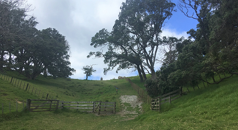
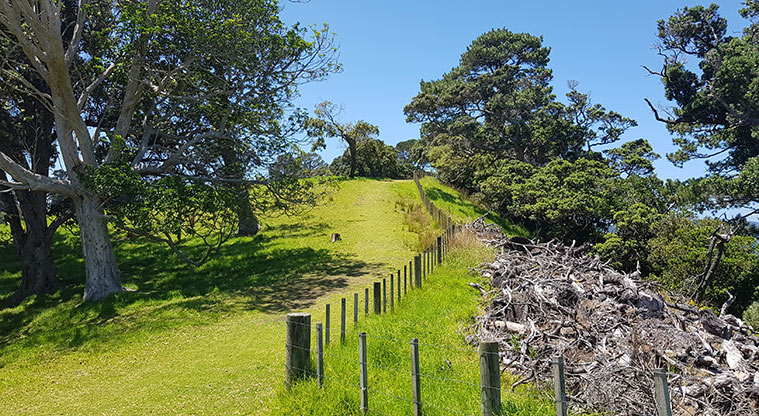
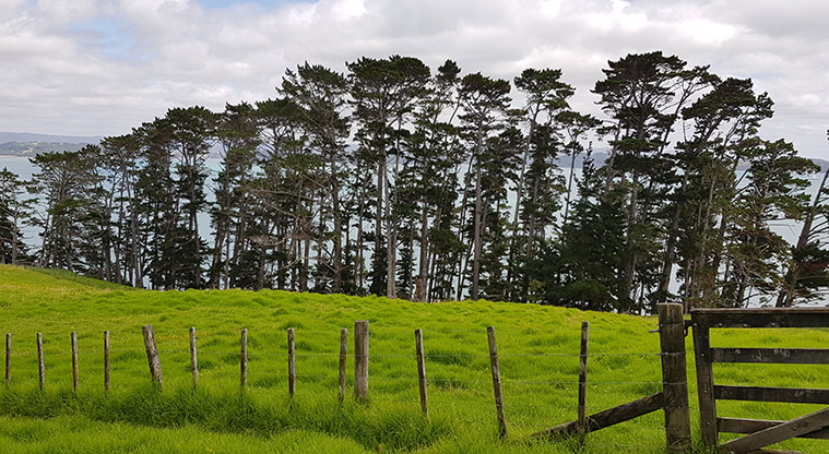
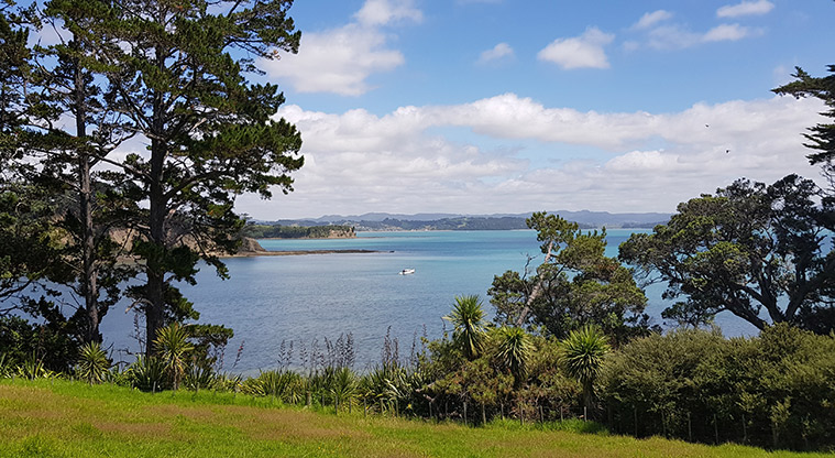
This scenic loop takes you along elevated tracks and through a short area of regenerating coastal bush. The hike is a combination of the Pig Sty, Mullet Point and Kawau Bay tracks.
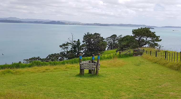
Begin your walk next to the main carpark area (public toilets and drinking water are available here). Head up the park road and look out for the blue signposts marking the Mullet Point Loop. The climb is steep, but you'll be rewarded with views back over Scandretts Bay and the regional park.
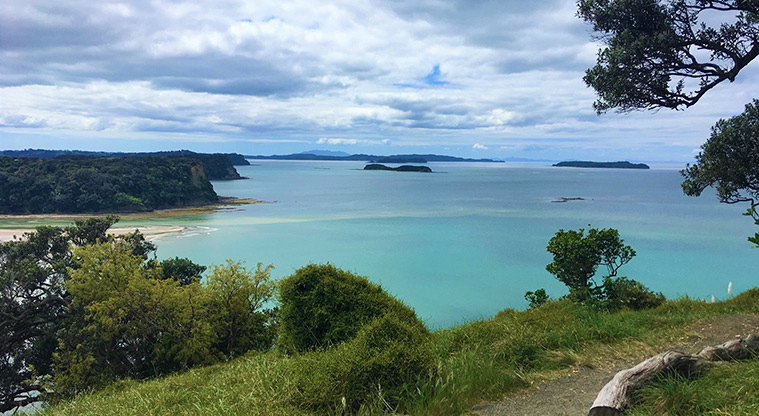
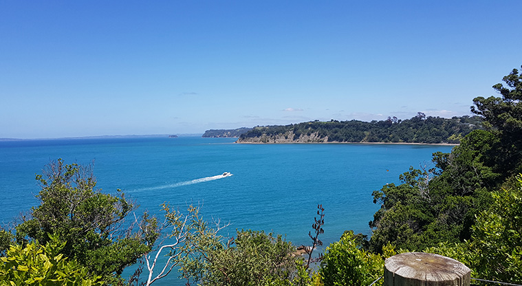
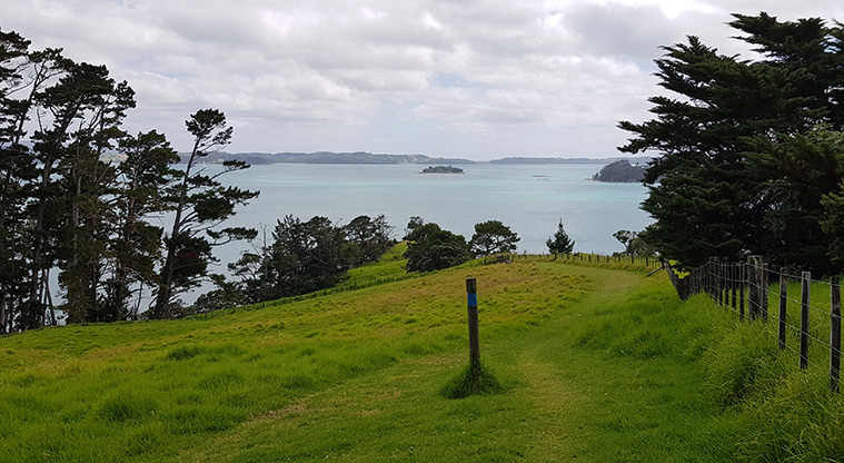
Follow the Mullet Point Track up along the southern cliffline. There's views of Kawau Island, Motuketekete Island, Moturekareka Island, Motuora Island and the Whangaparāoa Peninsula.
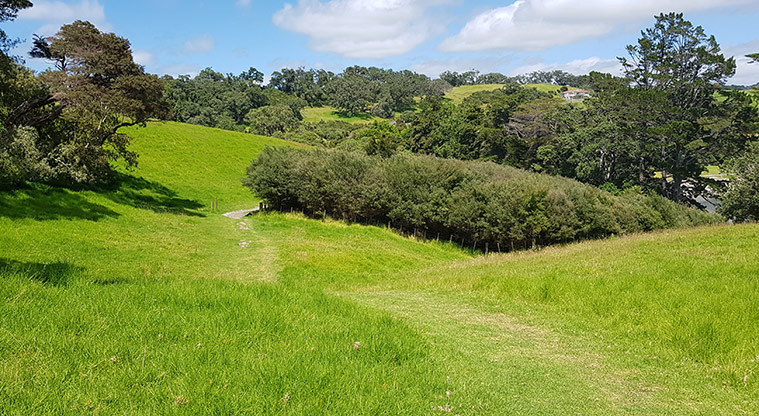
Stroll back down to Scandretts Bay along the grass Kawau Bay Track.
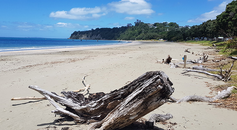
Scandretts Bay beach is very tidal with a large expanse of exposed mud flats at low tide. At high tide, it's calm and great for swimming.
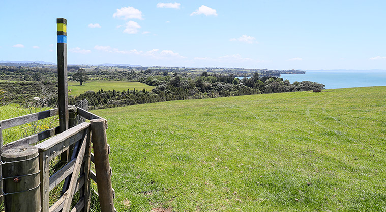
Keen walkers can continue on the Scandretts Bay Loop Path to explore the farm history of Scandrett Regional Park. Bird watchers may spot NZ dotterel, oyster catcher, kererū, tūī and pīwakawaka/fantail.
You should know:
- No dogs are allowed at Scandrett Regional Park
- Please take your rubbish home - there are no bins at the park
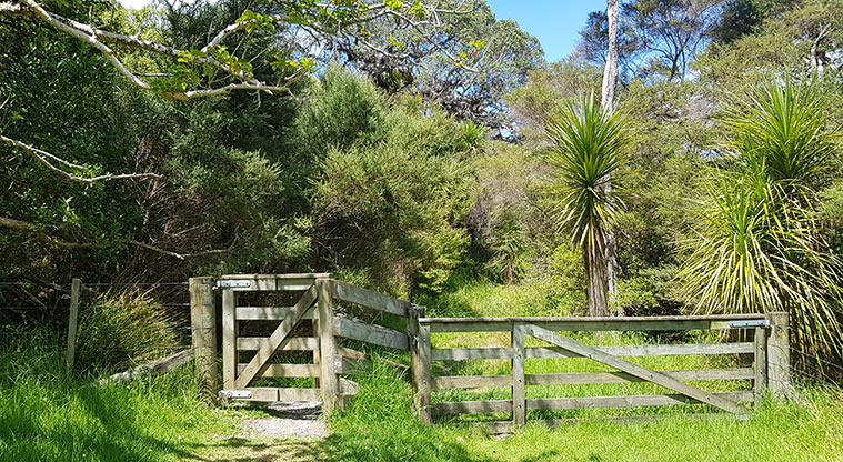
- Please leave all gates as you find them. Scandrett Regional Park is a working farm and there are cattle and sheep in the park.