Some council services will be unavailable over the Christmas and New Year break.
Check if you need to apply or order before Friday 19 December 2025.


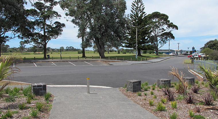
![]() Starts at 27 Armein Road, Panmure
Starts at 27 Armein Road, Panmure
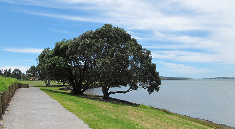
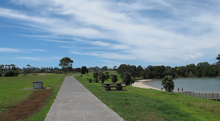
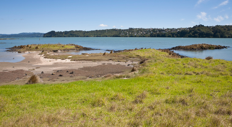
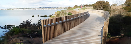
A shared path along the edge of the Tāmaki River.
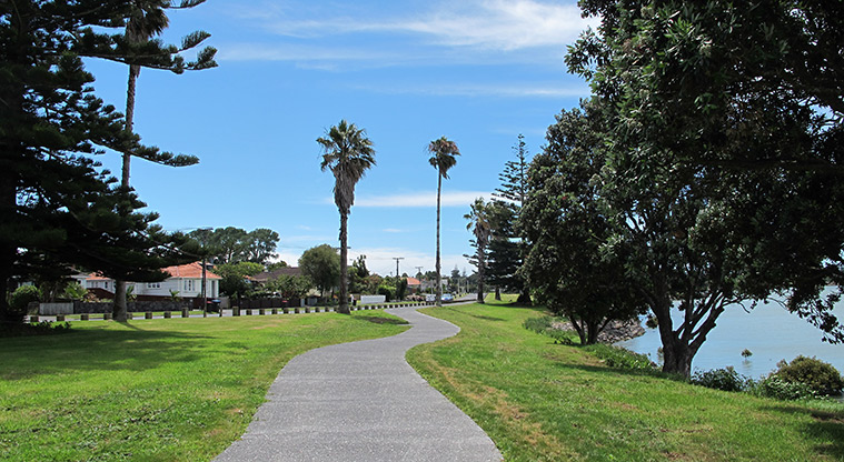
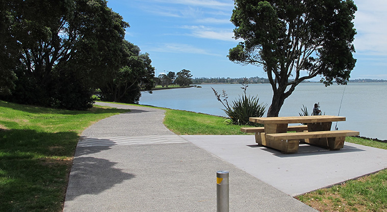
Start from either Dunkirk Reserve in the south or Wai-O-Taiki Nature Reserve in the north (there is ample parking at the end of Point England Road). The path is paved and relatively flat - ideal for people of all ages and abilities.
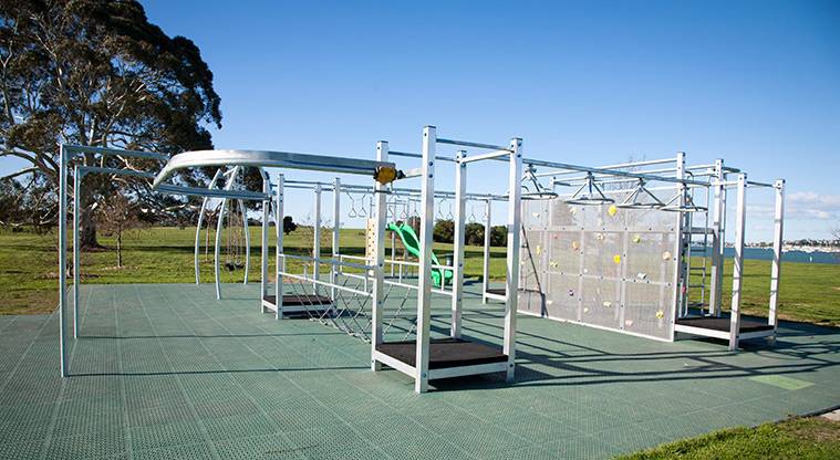
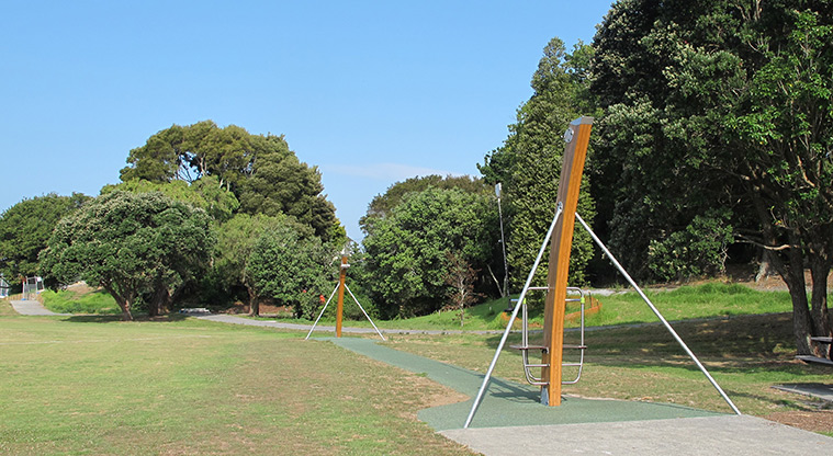
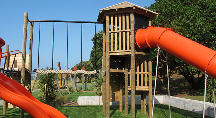
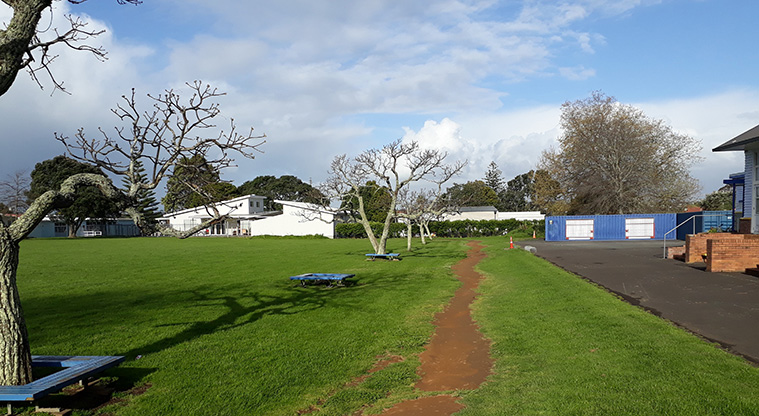
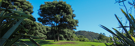
Starting from Dunkirk Reserve, check out the playground set among a small plantation of trees and shrubs.
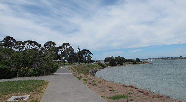
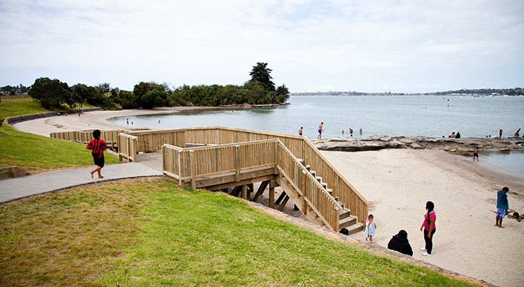
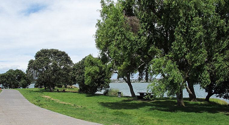
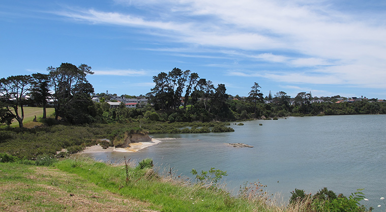
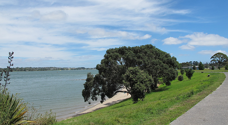
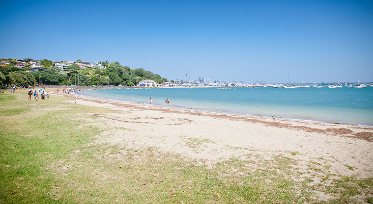
Head north along the path along the water's edge, stopping to admire the coastal views and views to Maungarei/Mt Wellington.
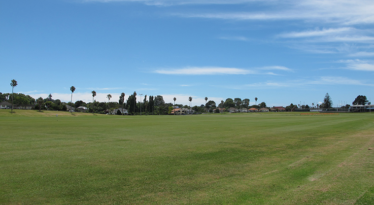
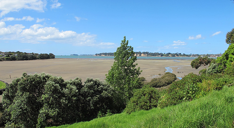
You will see a glimpse of farm life at Point England Reserve, with grazing cattle and horses. Dotterels nest in the paddocks, so keep dogs away.
The path crosses the Omaru Creek and has great views towards Bucklands Beach.
There are some barbecues available.