Our online mapping services will be unavailable from 6pm-10pm on Wednesday 18 February.
Te Pane o Mataoho / Te Ara Pueru / Māngere Mountain Path

Starts at 99 Coronation Road, Māngere Bridge
About the path
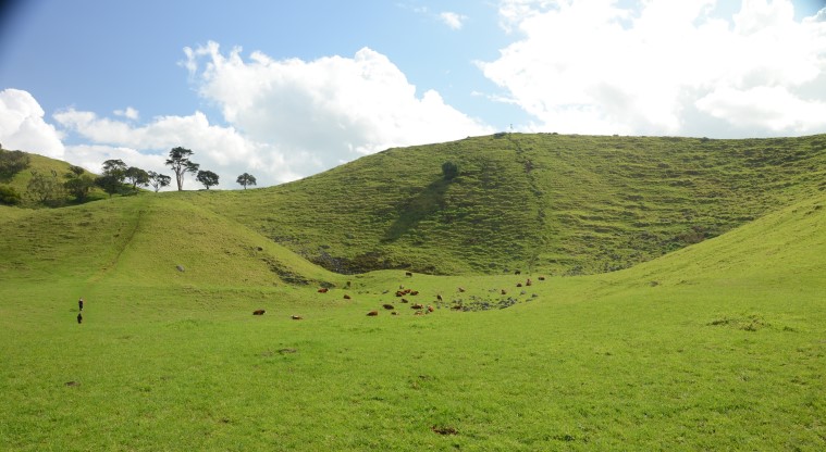
Sitting in the heart of Māngere Bridge lies Te Pane o Mataoho / Te Ara Pueru / Māngere Mountain, one of the most intact volcanic cones in Tāmaki Makaurau / Auckland. Unlike many volcanoes in central Auckland which were quarried for aggregate in the mid to late 1800s to make roads, this one was spared.
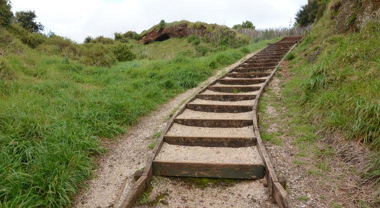
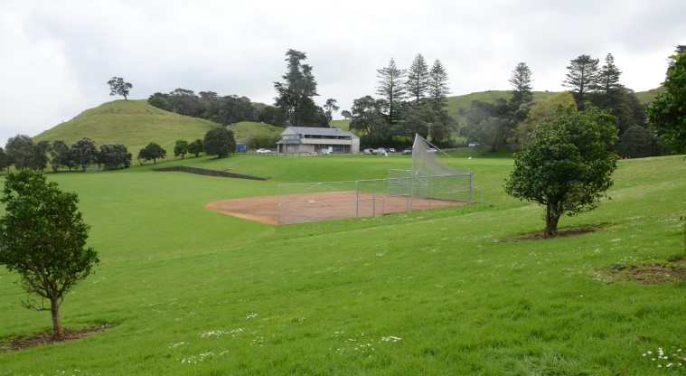
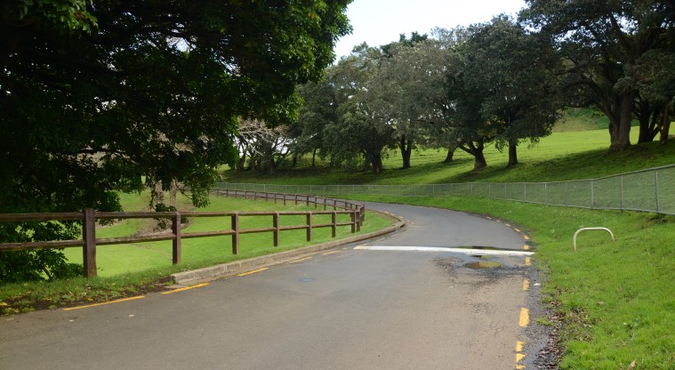
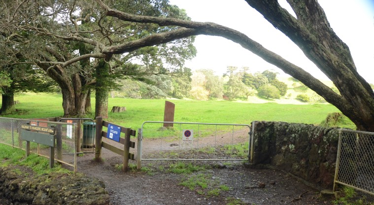
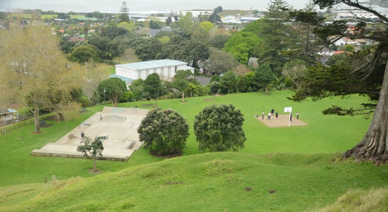
The main entrance is off Domain Road with a large visitor car park beside the Māngere War Memorial Hall. Just up from the car park is a small skate park and basketball court. The Tūpuna Maunga Authority is building a large new playground at this spot. From here you can follow the road past the sports field to the beginning of the tihi (summit) track.
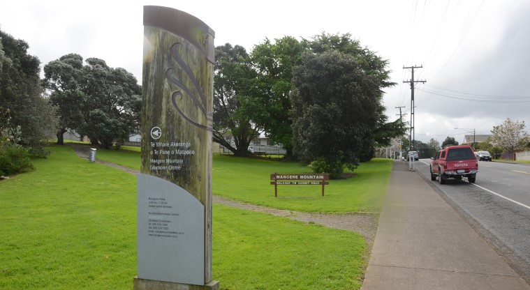
An alternate starting point which is where the AKL Paths map starts is next to the Māngere Mountain Education Trust, off Coronation Road, located on a bus route. It is well worth planning a guided walk with the Trust volunteers. You’ll learn not just of the volcanic origins but also of the lives of the Māori people who called this maunga (mountain) home in pre-European times when there was an expansive and important Māori pā (fortified village settlement) here.
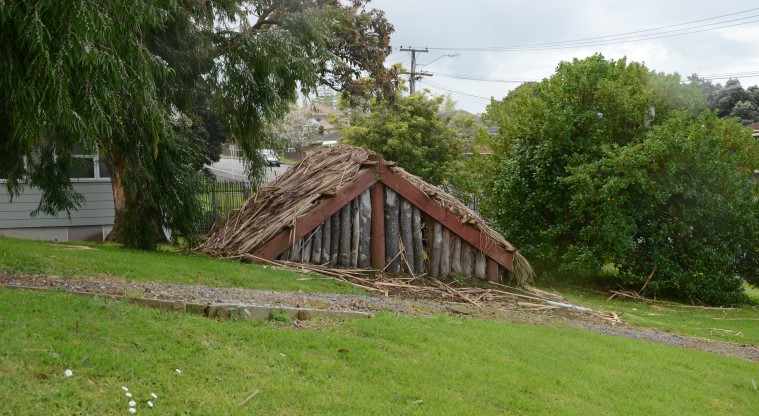
You can also visit the restored cottage of King Tāwhiao, who became the second Māori king in June 1860.
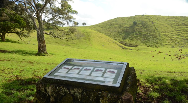
Along the path, you’ll see evidence that the maunga supported extensive māra kai (food gardens), growing food like kūmara.
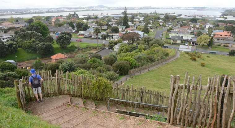
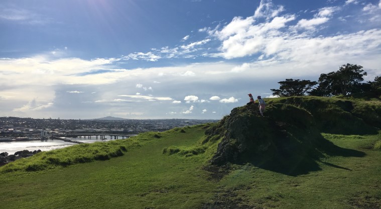
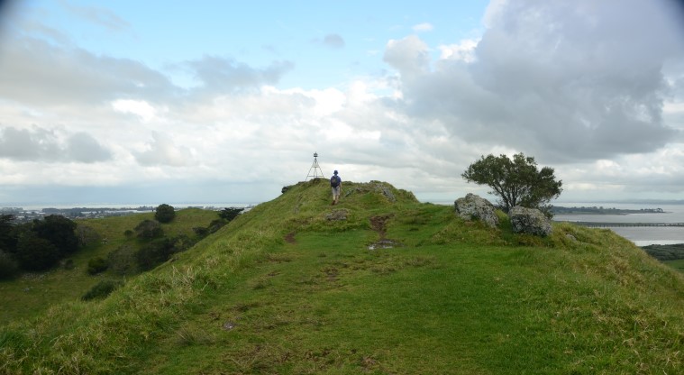
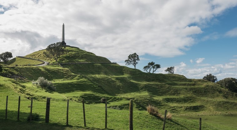
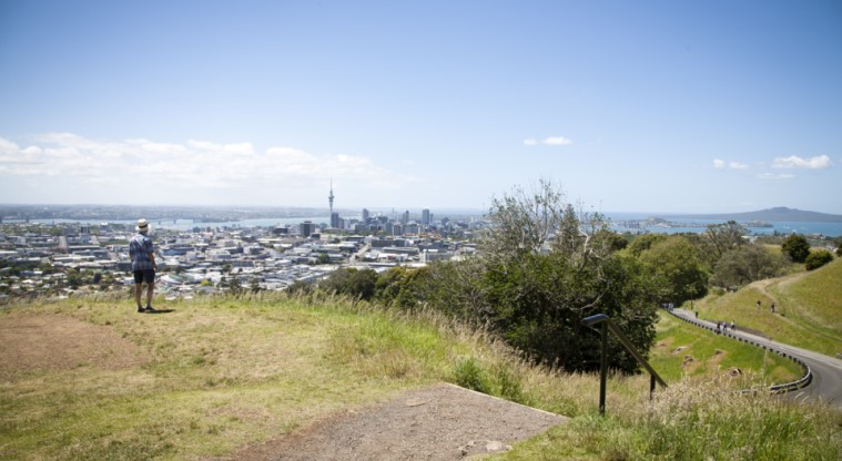
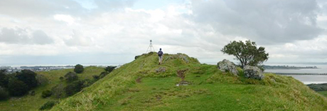
At the tihi you’ll be rewarded with spectacular views over Manukau Harbour and to nearby maunga Maungakiekie / One Tree Hill and Puketutu Island. The views show why the maunga was in such a strategic position for a fortified pā, as those living here could easily see hoariri (enemies) approaching from any direction.
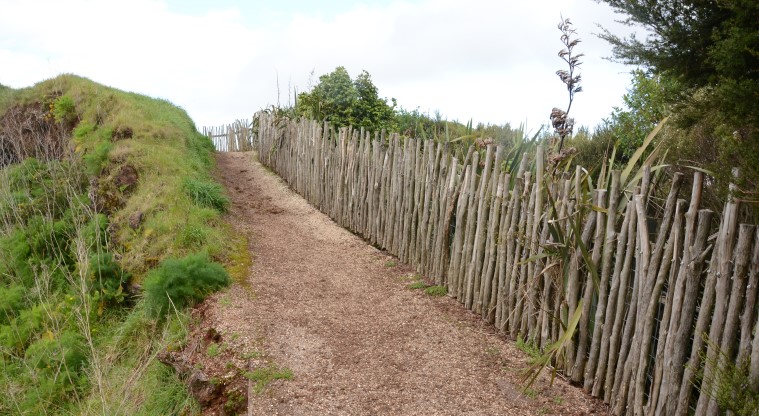
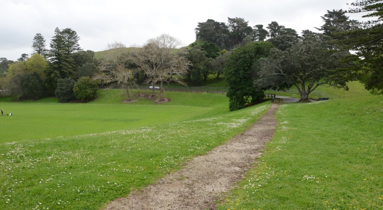
Tread carefully – it’s important to stick to the formal tracks and sealed paths where they exist. The historic pā terracing on the slopes of the maunga, and the historic pā storage pits are important archaeological features and you must not walk on or through them.
The two craters are considered sacred and must not be entered. The main crater has a great example of a tholoid (plug) in the centre, however this feature is considered tapu (sacred) so please don’t climb it – you will have a good view of it from the top of the crater rim path.
Te Pane o Mataoho / Te Ara Pueru / Māngere Mountain is one of the 14 Tūpuna Maunga administered by the Tūpuna Maunga Authority. You can find out more about the history and name of this maunga (mountain) on the Tūpuna Maunga Authority website.

