Maukatia Gannet Track
We are upgrading the Maukatia Gannet Track until April 2026. The track remains open during this work. Find out more on Projects in west Auckland.

![]() Starts at 1 Waitea Road, Waitakere, Muriwai
Starts at 1 Waitea Road, Waitakere, Muriwai
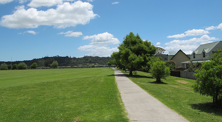
About the path
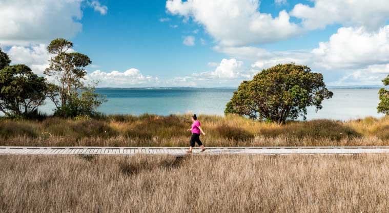
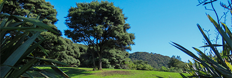
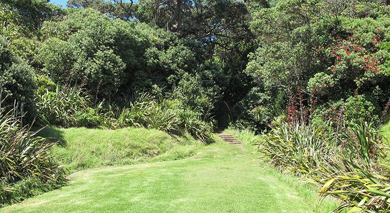
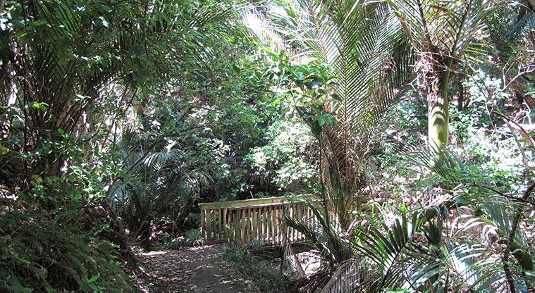
A popular walking track along the rugged headland between Maukatia/Māori Bay and Muriwai Beach.
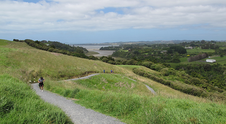
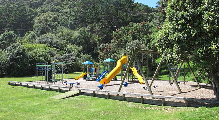
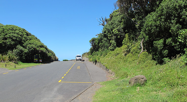
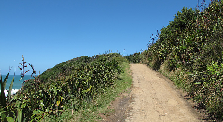
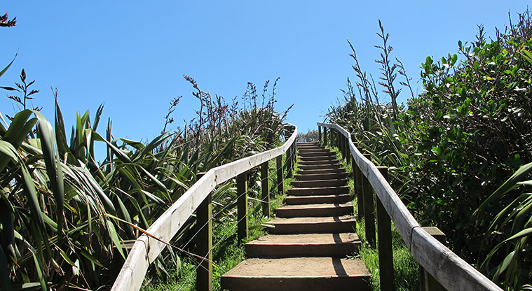
Start at the car park, where you will also find public toilets and a children's playground. The track combines easy walking with some climbs to make the most of the great views.
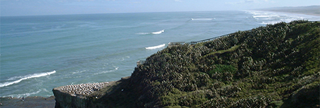
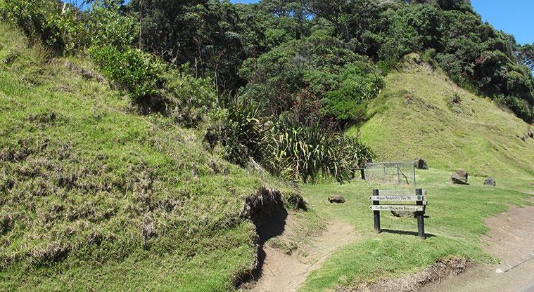
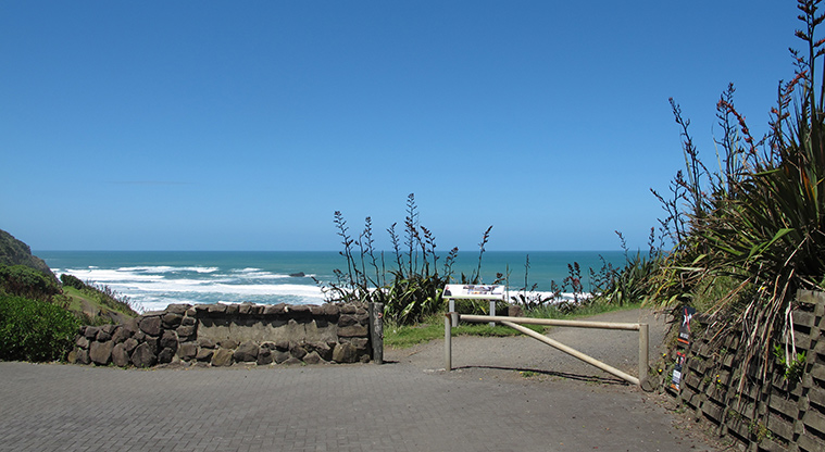
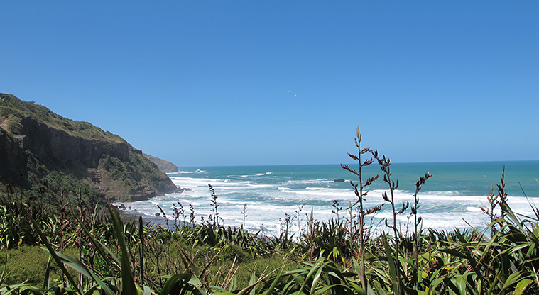
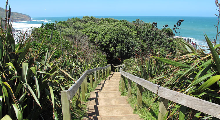
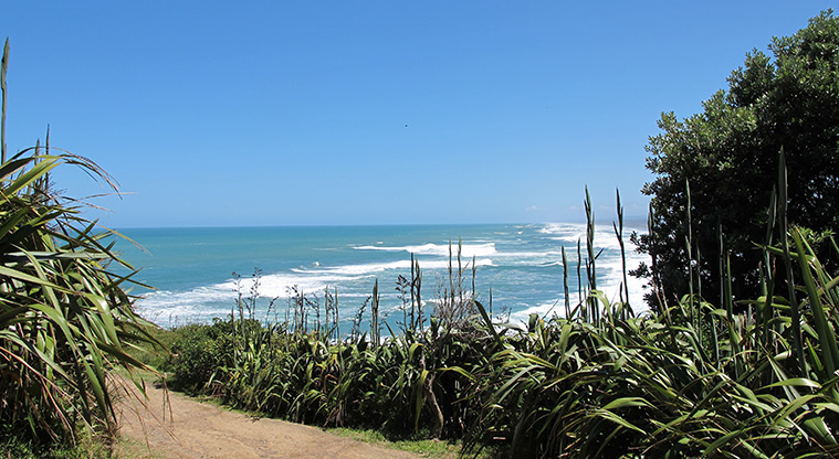
Follow the signs towards Maukatia/Māori Bay. The track leads through a short section of bush and two spectacular lookout points. Enjoy panoramic views over Maukatia/Māori Bay, Muriwai Beach and Woodhill Forest. Look out for the unique pillow lava and 'sea geyser' formations.
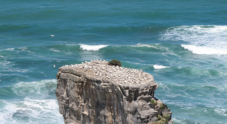
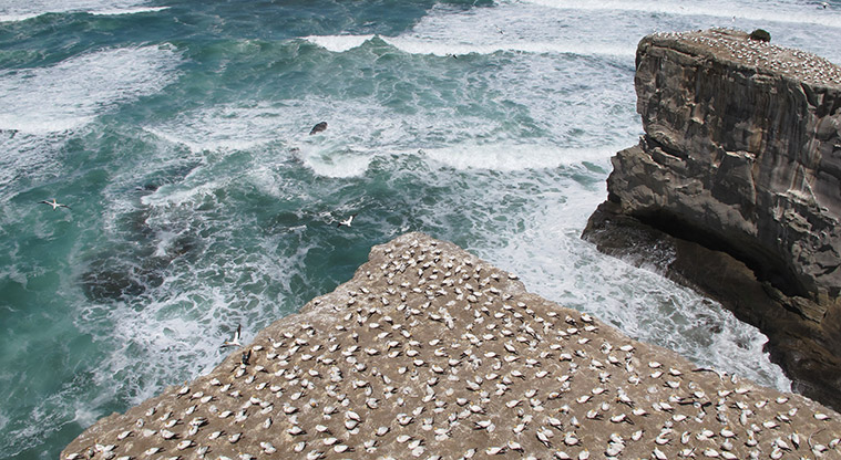
Ōtakamiro Point is the site of one of our few mainland gannet (takapu) breeding colonies. Gannets nest throughout summer. The viewing platform offers great views of the gannet colony - but please don't feed or disturb the gannets. Ōtakamiro's sea caves and blowhole were formed by waves eroding along vertical fractures in the rocks.
The iconic black sand of Muriwai is a magnetic iron mineral (titanomagnetite). It was eroded from volcanoes in the centre of the North Island and carried down the Waikato River to the Tasman Sea, then washed up by sea currents.