For information about our services and facilities restrictions during the protection framework settings, see the COVID-19 section
For up-to-date information on COVID-19, visit covid-19.govt.nz
Parks and beaches are open.
For more information on physical distancing and face masks please visit covid19.govt.nz.
Walking time 40 mins
Walking steps 1950 steps
Distance 1.5 km
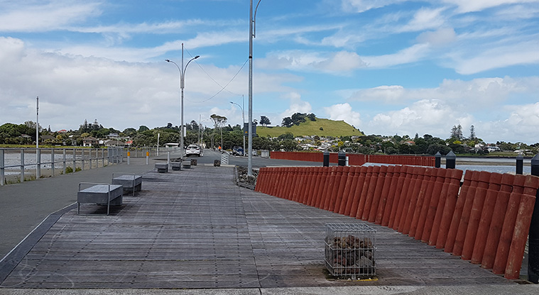
Onehunga Bay to Waikowhai Path - The path starts alongside Onehunga Bay Reserve.
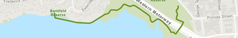
Onehunga Bay to Waikowhai Path - The playground at Onehunga Bay Reserve.
Onehunga Bay to Waikowhai Path - Picnic table with a view of the Onehunga Bay Lagoon.
Onehunga Bay to Waikowhai Path - Taumanu Bridge, connecting Onehunga Bay Lagoon with the Taumanu Reserve.
Onehunga Bay to Waikowhai Path - Section of path with steps down from Taumanu Bridge.
Onehunga Bay to Waikowhai Path - Picnic table and bench in Taumanu Reserve.
Onehunga Bay to Waikowhai Path - Beach area of Taumanu Reserve.
Onehunga Bay to Waikowhai Path - A typical section of gravel path on Taumanu Reserve.
Onehunga Bay to Waikowhai Path - A section of the boardwalk to Waikowhai.
Onehunga Bay to Waikowhai Path - View back towards Onehunga on the Waikowhai boardwalk.
Show path map
Starts at 106 Beacroft Avenue, Onehunga
Get directions on Google Maps
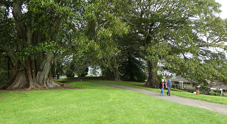
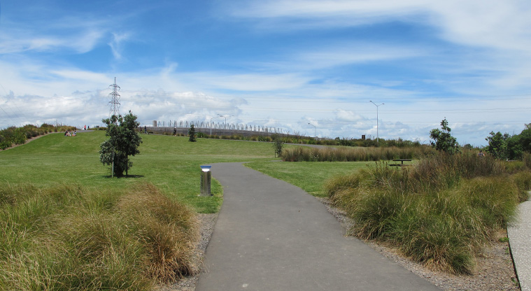
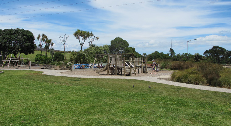
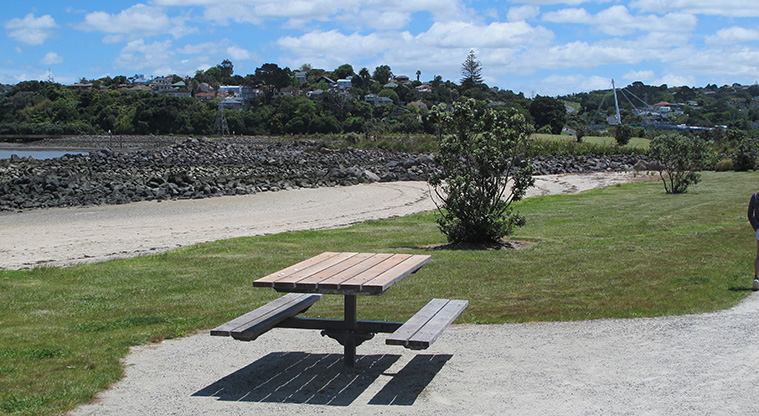
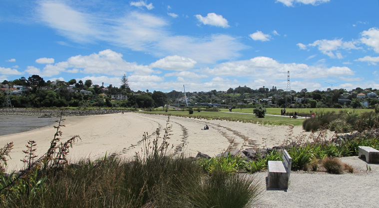
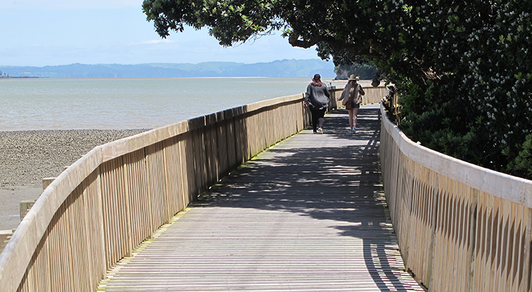
Start this path at Onehunga Bay Reserve, where you can go for a walk and enjoy many points of interest. There's also a kid's playground and exercise equipment.
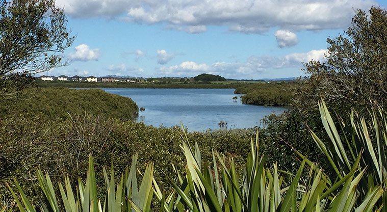
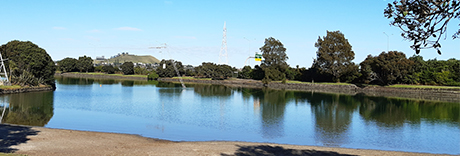
This area is a dog off leash area alongside the lagoon. Dogs are not allowed beyond the Taumanu Reserve car park.
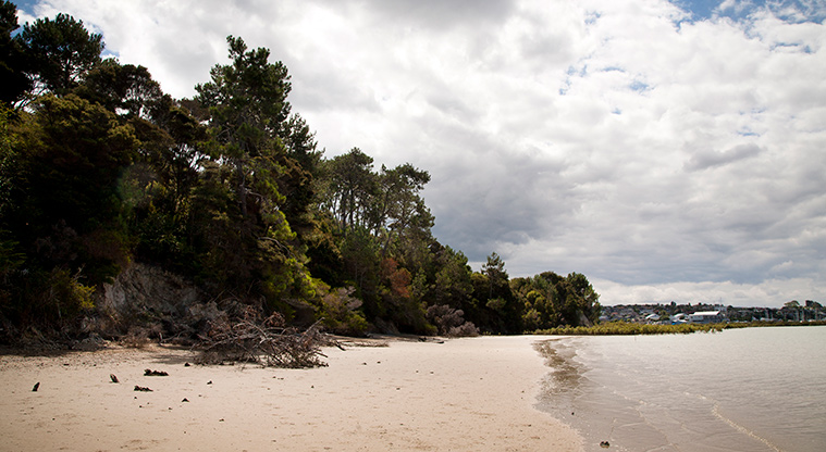
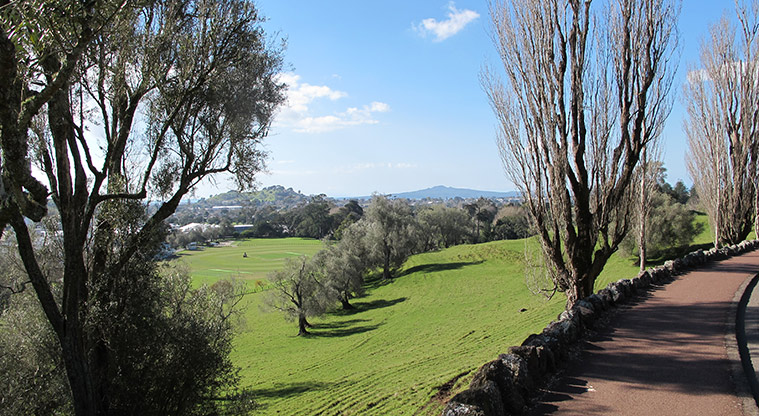
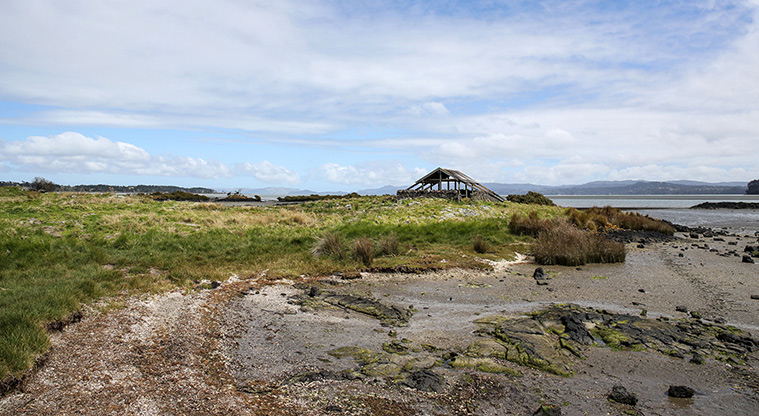
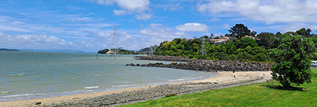
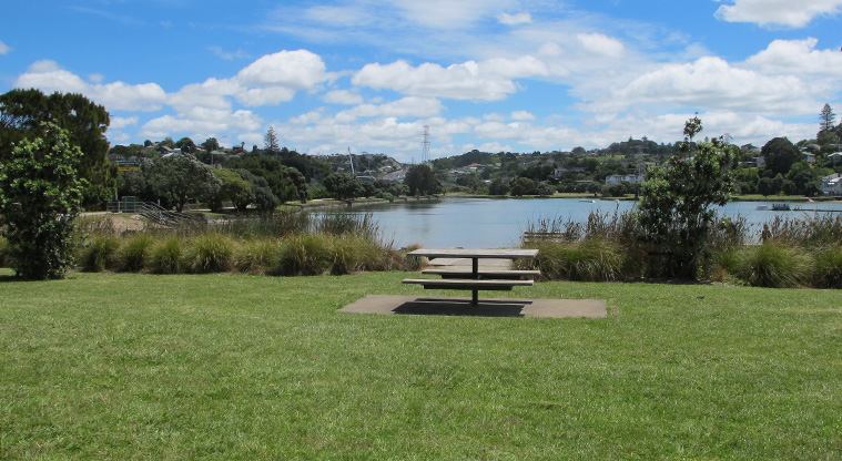
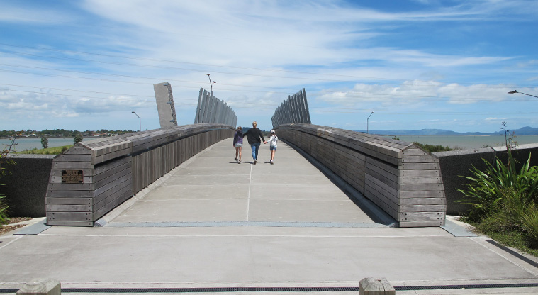
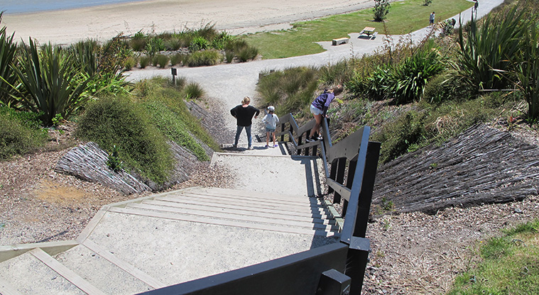
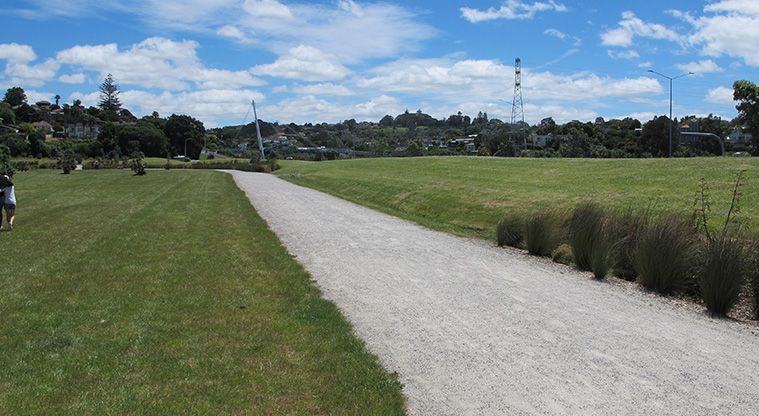
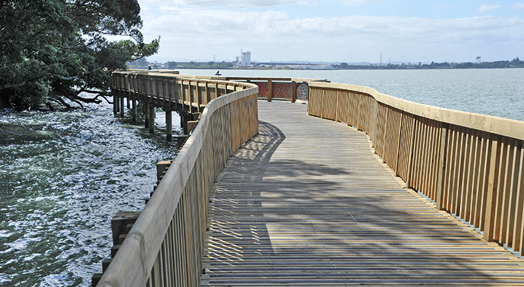
Take a walk across the Taumanu bridge with amazing views to Mangere Mountain. Weave around the reserve paths, beaches, picnic areas. Follow the Waikowhai Boardwalk under the Hillsborough cliffs.
You can walk back finishing at the Onehunga Library.
Walking 45 mins
Distance 3.2 km
Walking 30 mins
Distance 2.3 km
Distance 1.2 km
Is the information on this page helpful?
Thanks for your feedback
To ask for help or report a problem with our services or facilities, contact us.
Skip Send