Tāpapakanga Coastal Loop Track

![]() Starts at Tapapakanga Regional Park
Starts at Tapapakanga Regional Park
About the path
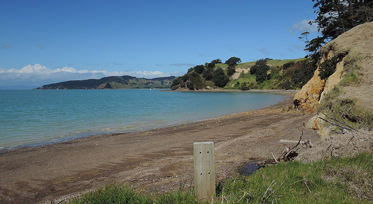
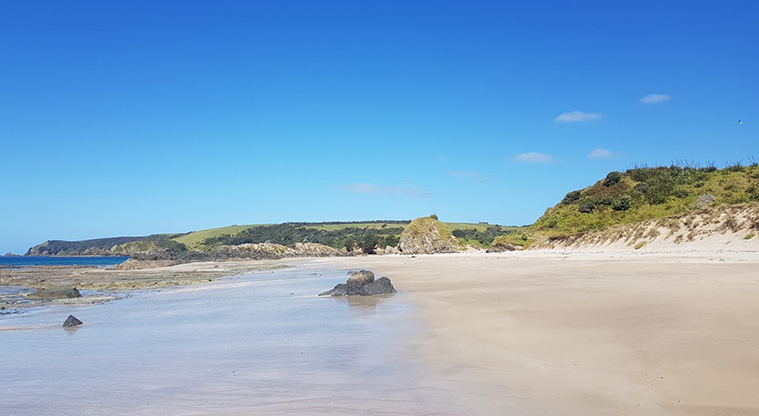
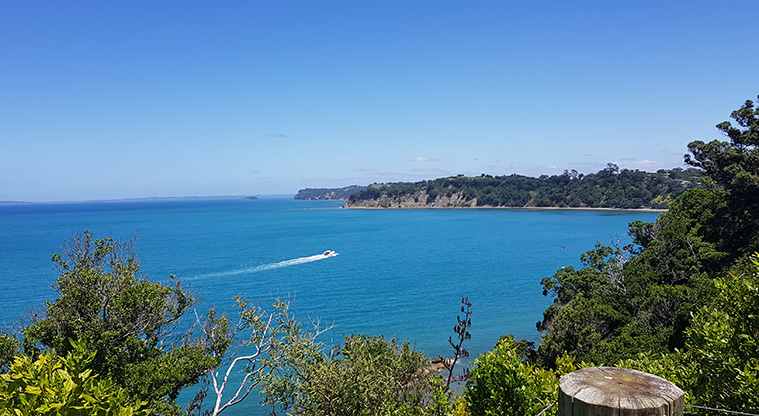
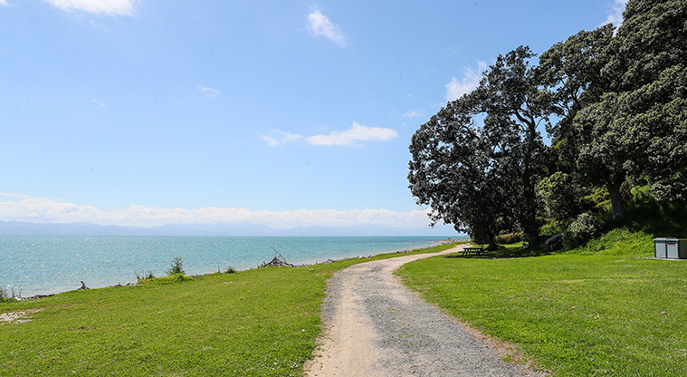
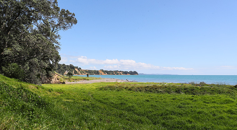
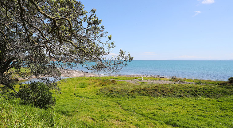
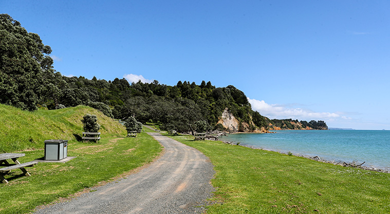
A short walk along the coastline and farmland, with expansive views of Tāpapakanga Regional Park.
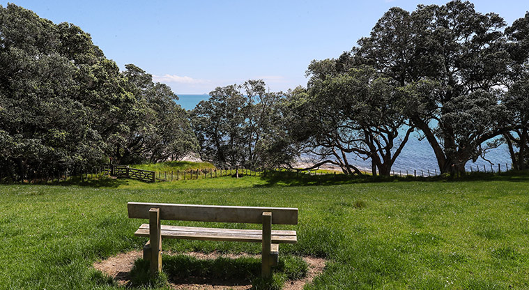
Start at the main car park and capture your Instagram moment near the huge picture frame overlooking the beach.
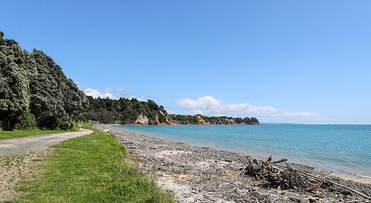
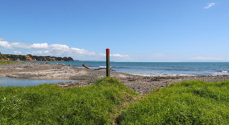
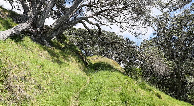
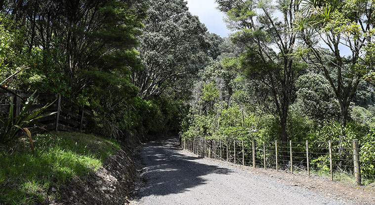
Follow the red markers south along the beach. The Coastal Loop Track is a shortened version of the longer Tāpapakanga Coastal Walk.
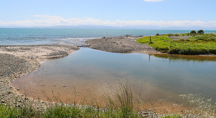
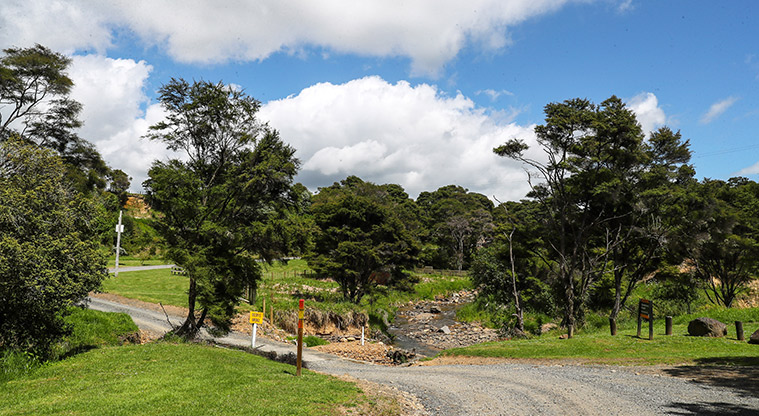
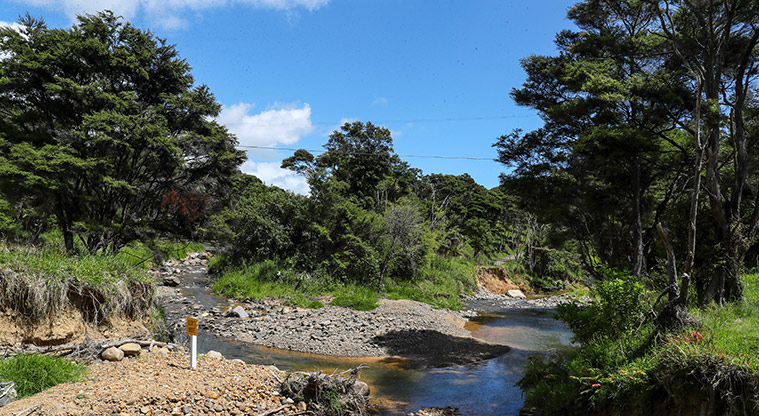
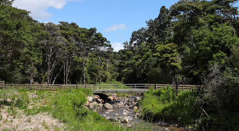
Cross Tāpapakanga Stream. At high tide, the stream can be difficult to cross - you'll need to take the alternative inland route past the pā site, and return back to the car park the same way (rather than following the loop walk).
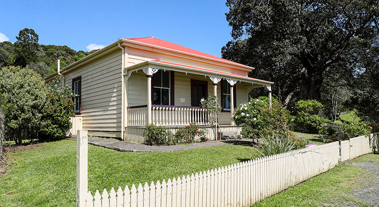
You'll pass the cemetery of the Ashby family, who settled on this land in 1899. The local chief Tukumana Te Taniwha enjoyed a lifelong friendship with settler James Ashby.
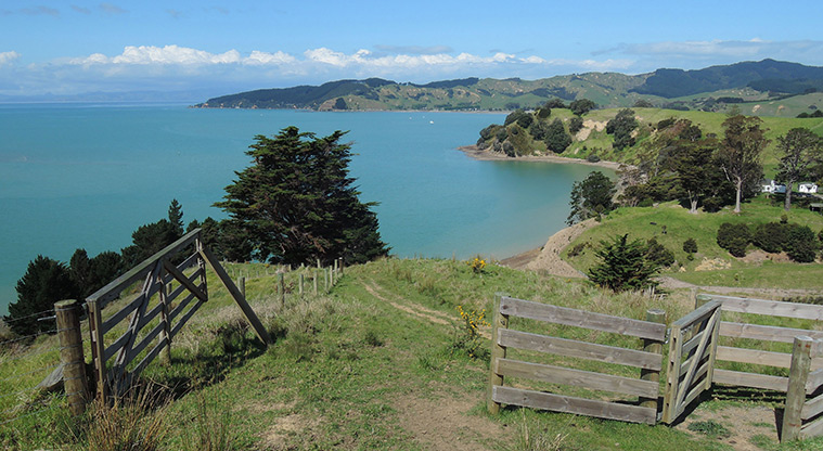
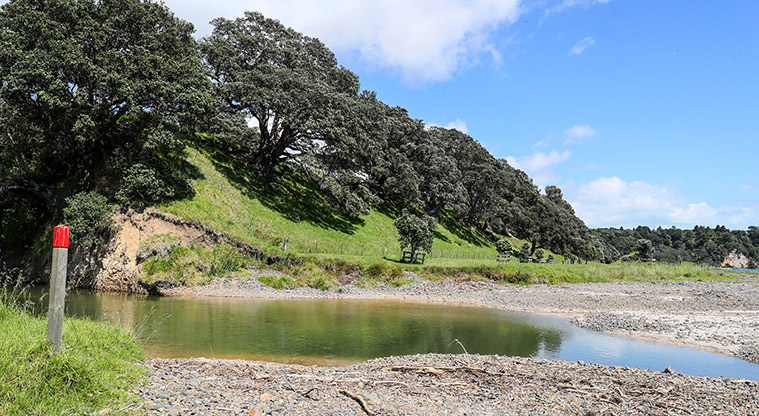
Once you reach the Ashby family cemetery, turn right and head back towards Tāpapakanga Stream. Walk along the edge of the Tāpapakanga Stream, which flows around the impressive Māori pā site.
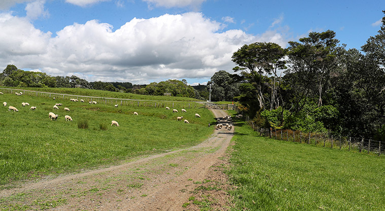
Follow the red markers back to the car park, or extend your walk along the Farm Walk track to continue exploring and meet some of the resident farm animals.
Dogs are allowed on-leash between 1 December and 30 June but are not allowed during lambing and calving season (1 July to 30 November).