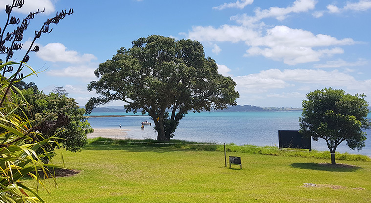
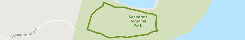
Scandretts Bay Loop Track

![]() Starts at 115 Scandrett Road, Mahurangi East
Starts at 115 Scandrett Road, Mahurangi East
About the path
Explore Scandrett Regional Park on Auckland's Mahurangi Peninsula.
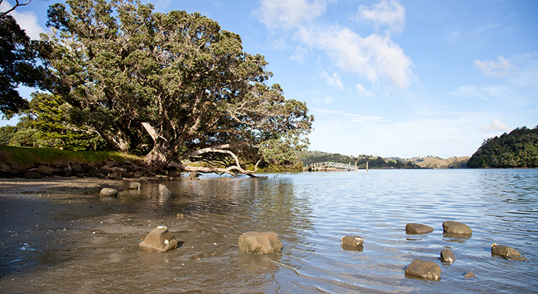
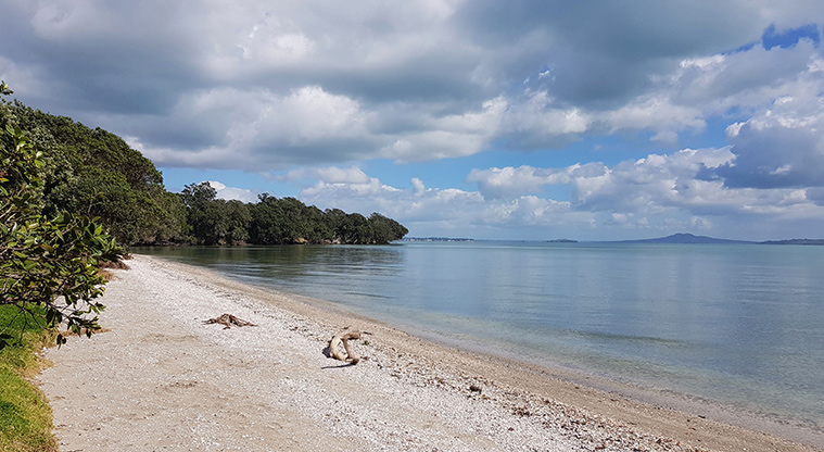
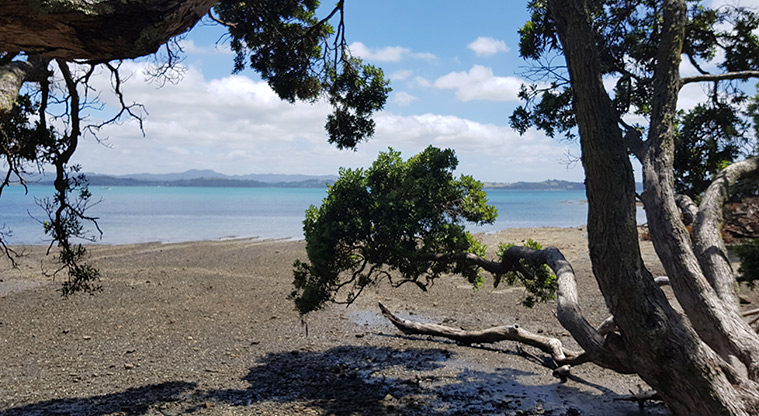
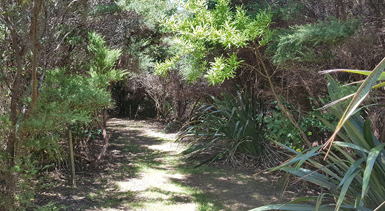
This scenic loop takes you along elevated tracks and through a short area of regenerating coastal bush. The hike is a combination of the Pig Sty, Mullet Point, and Kawau Bay tracks.
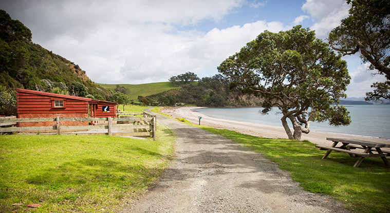
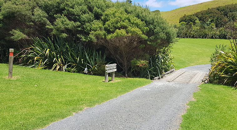
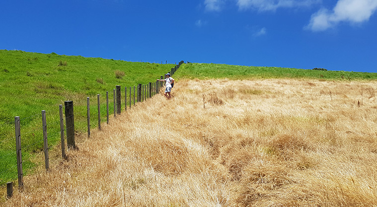
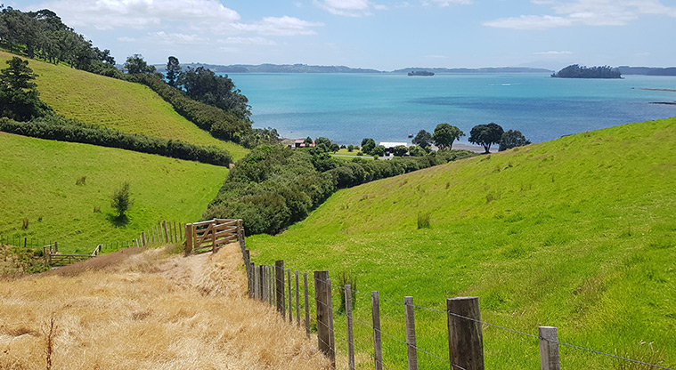
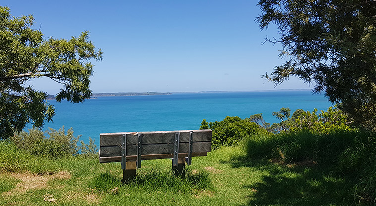
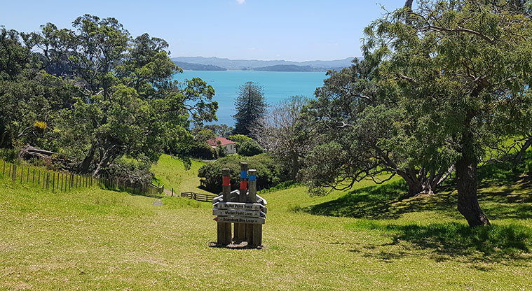
Begin your walk next to the main car park area (public toilets and drinking water are available here). Head up the park road and look out for the blue signposts marking the Mullet Point Loop. The climb is steep, but you'll be rewarded with views back over Scandretts Bay and the regional park.
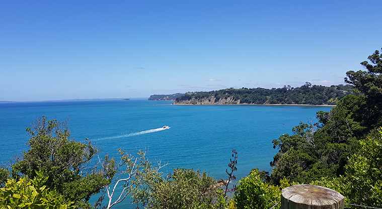
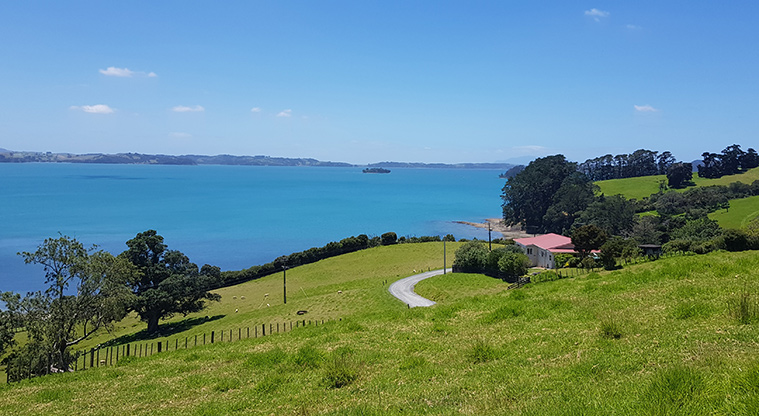
Follow the Mullet Point Track up along the southern cliffline. There's views of Kawau Island, Motuketekete Island, Moturekareka Island, Motuora Island and the Whangaparāoa Peninsula.
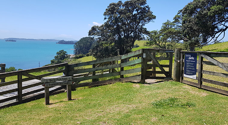
There's an optional side track (accessed through the gate) which takes you to the end of Mullet Point and the historic Māori pā site. The grass is longer and the walk more challenging.
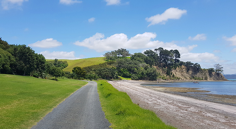
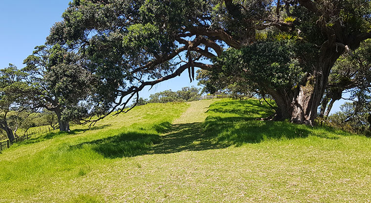
Stroll back down to Scandretts Bay along the grass Kawau Bay Track.