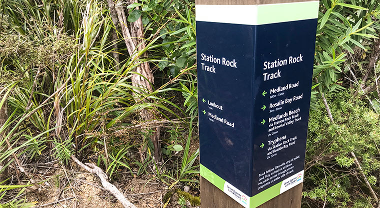
Station Rock Path

![]() Starts at 280 Medlands Road, Great Barrier Island
Starts at 280 Medlands Road, Great Barrier Island
About the path
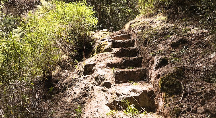
The track to Station Rock has been upgraded to make it accessible for people with moderate fitness levels.
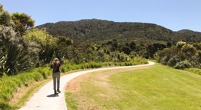
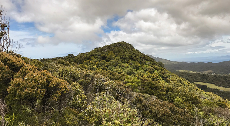
Take your time, it is not far to the top. The views are stunning and a great reward for a short climb through beautiful native forest.
Great on a sunny day, as you are walking in the forest most of the time.
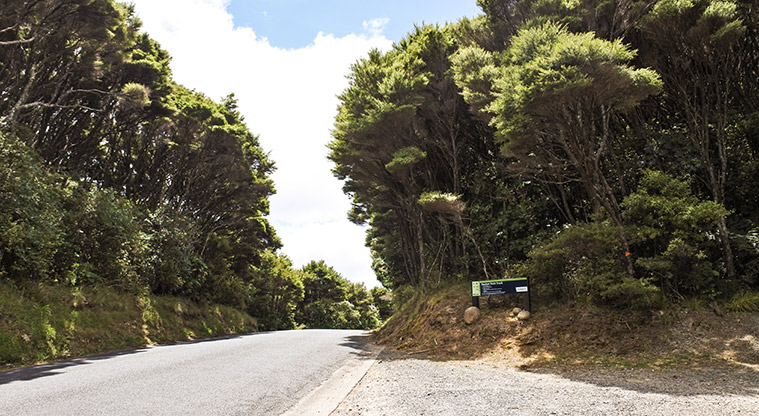
You can park at the start of the track, near the highest point on Medlands Road between Medlands Beach and Tryphena.
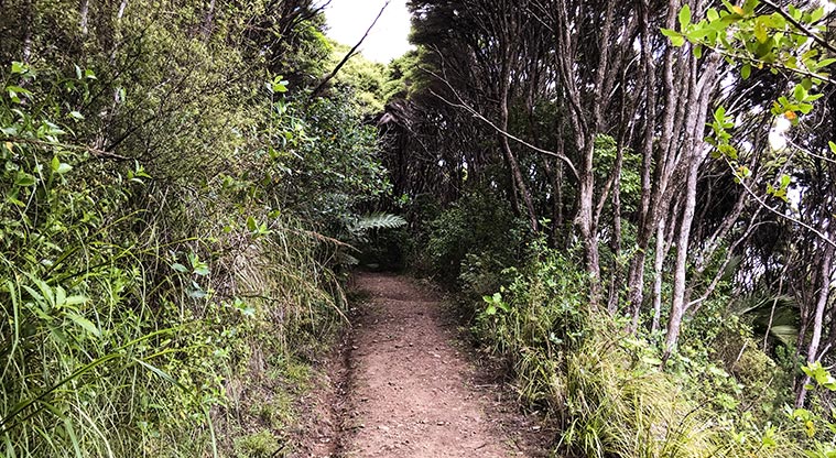
The track starts nice and flat on an old farm road, then rises steeply towards the top of Station Rock, named after the transmitter station that can be seen from Tryphena Bay. Steps and gravelled tracks make this walk quite manageable.
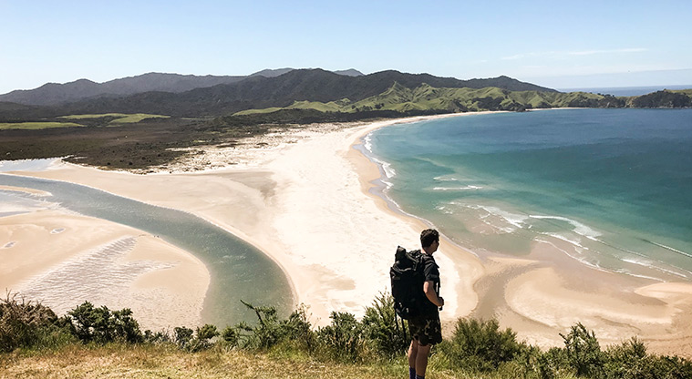
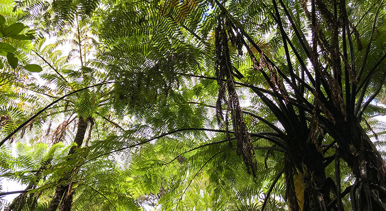
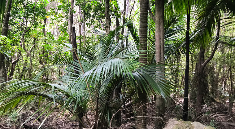
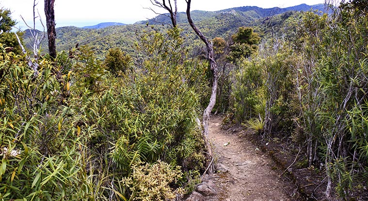
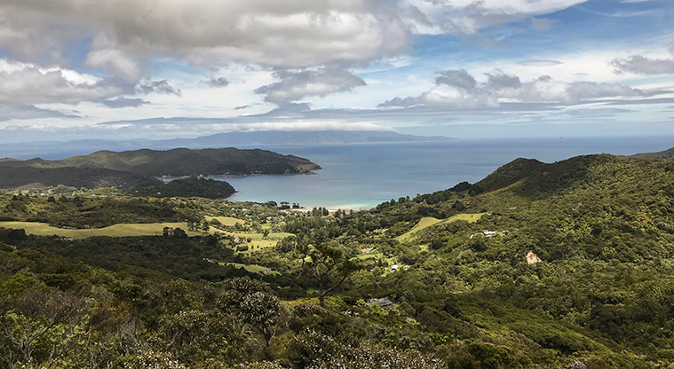
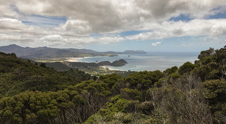
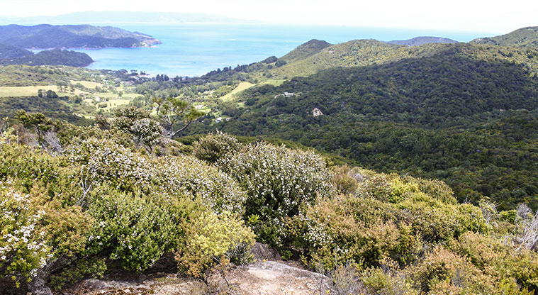
Take your time heading up to enjoy the beautiful stands of nīkau, the huge pūriri and the great rock formations. At the top, turn left to the lookout, where you can enjoy views south and west across Tryphena, as well as stunning views north and east across beaches of Medlands and Kaitoke.
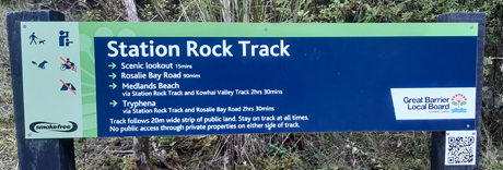
If you’re keen to do more, head up the new Station Rock track towards Rosalie Bay Road. This stunning ridgeline trail, connects all the way to Medlands Beach or Mulberry Grove. You can go all the way, or just have a look around and turn back.
Otherwise, head back the way you came, its only 170 metres to the car park.
A very rewarding, must-do challenge for anyone spending time on the Island.