Greenhithe to Wharf Path
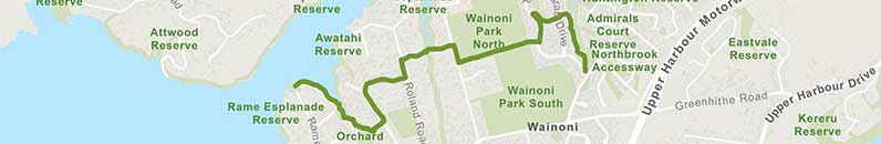
![]() Starts at 2-4 Te Wharau Drive
Starts at 2-4 Te Wharau Drive
About the path
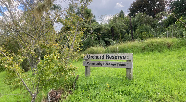
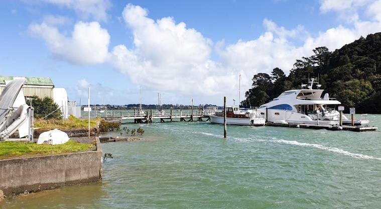
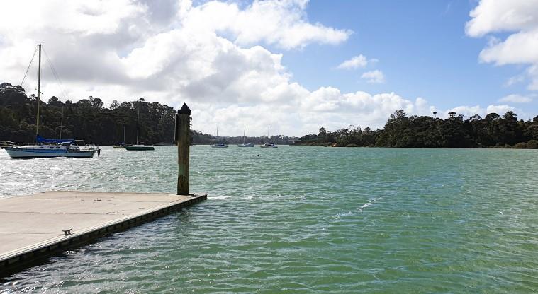
This path starts in the upper reaches of Greenhithe by Te Wharau Drive and gradually winds its way through varied scenery until you reach the Greenhithe Boat Building precinct and pontoons. En route you will enjoy the Greenhithe Pony Club, tributes to various local identities, sports fields, gardens, reserves and plenty of bush.
The first half of the walk is suitable for most abilities and fine for off-road buggies, but once past Churchouse Road it is more suitable for experienced walkers as there are plenty of stairs and narrow tracks.
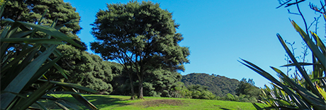
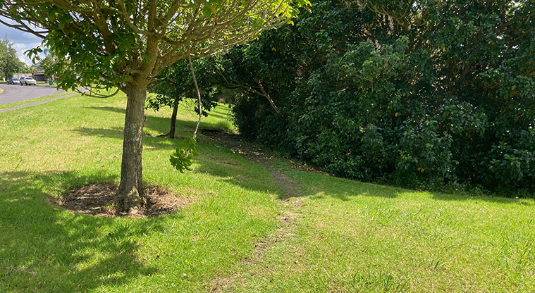
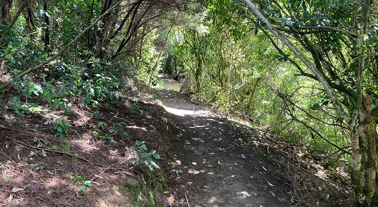
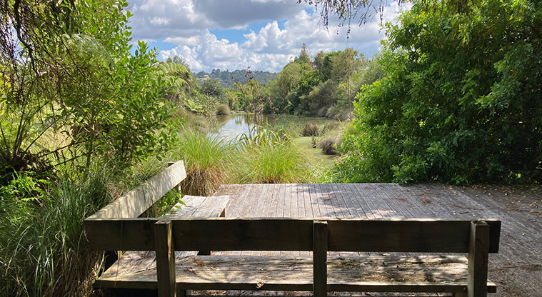
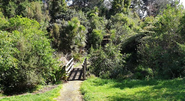
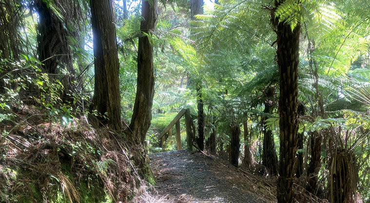
The first section of the walk follows a creek and goes through bush on a mostly dirt track. Part way in, there is a lovely wooden deck with seating overlooking a pond - a beautiful spot for a rest and drink. Enjoy the birds, native bush, nīkau palms and beautiful houses.
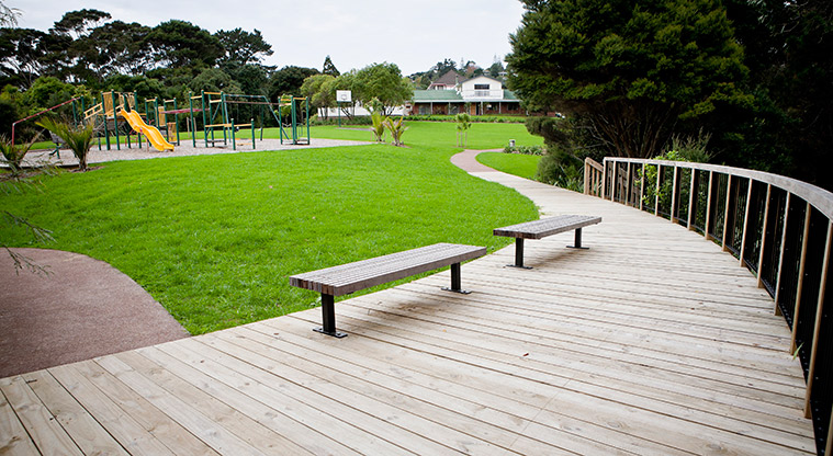
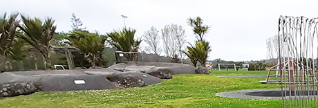
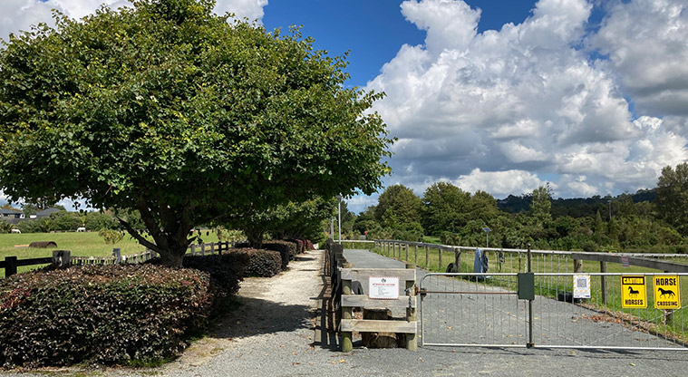
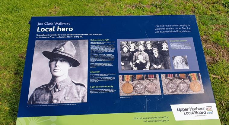
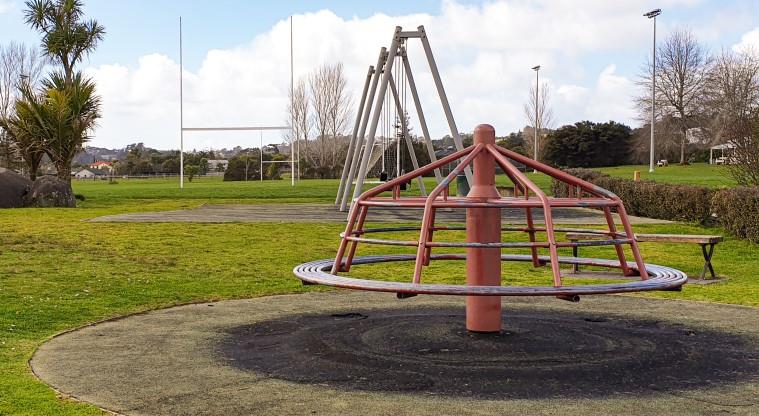
Take the gradual downhill, shell covered path through the middle of the pony club grounds (it is all fenced), taking some time to read about the local war hero Joe Clark, who has a pathway named in his honour. Beyond here you enter Wainoni Park North and are greeted by sports fields, gardens, a playground and toilets.
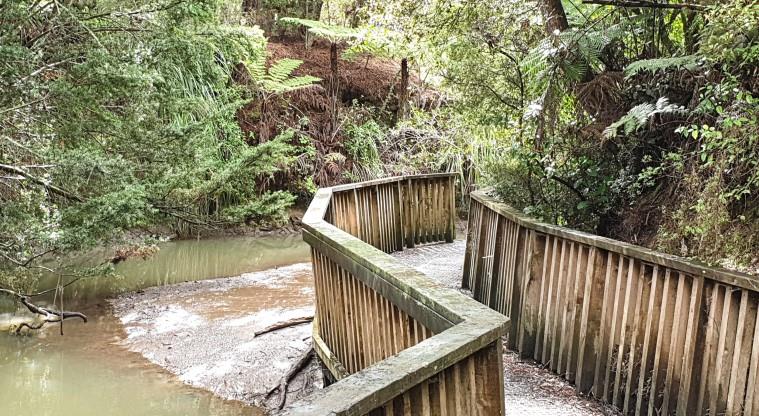
From this point the path changes to some narrower tracks and stairs. Continue on the track via the Watercare accessway to a pump station – here you encounter a boardwalk/bridge that takes you across the stream to a small grass reserve via a few steep stairs. You will find a mix of town and country properties, with chickens and some sheep.
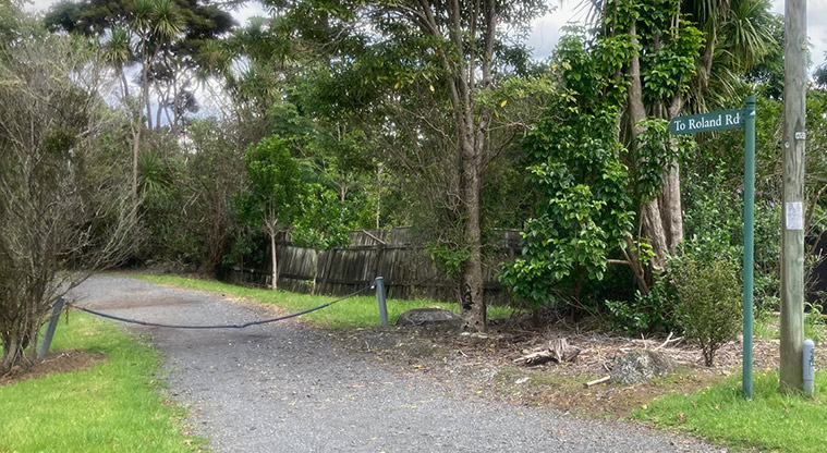
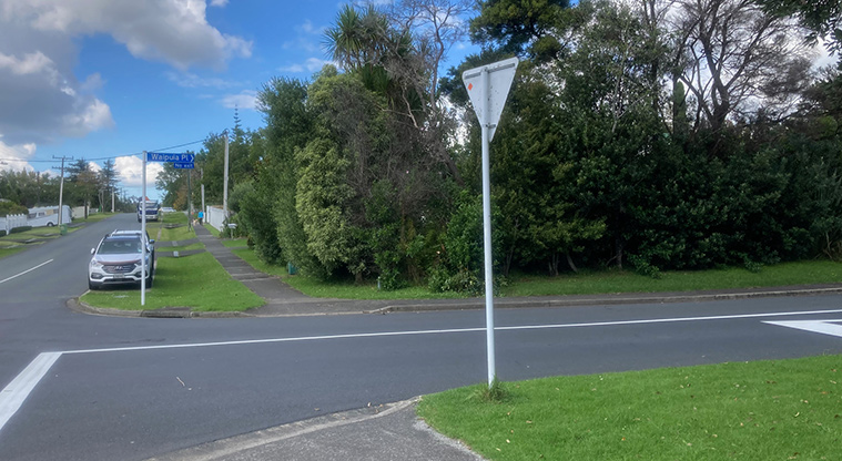
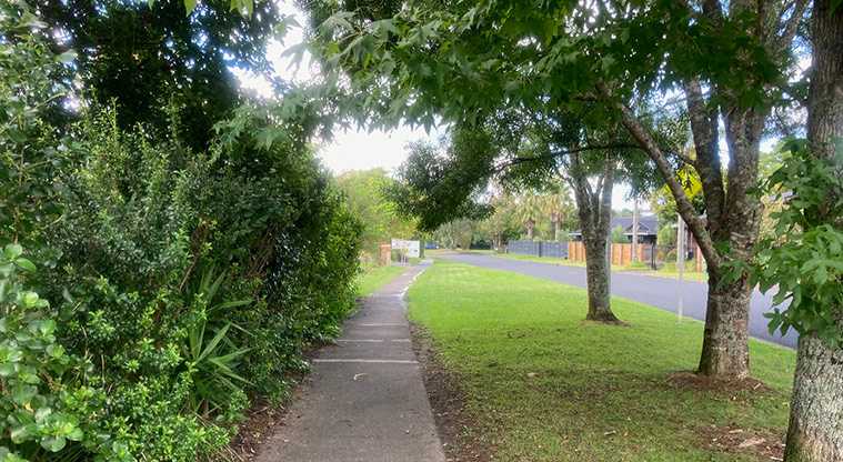
The next section of the walk takes you through a couple of suburban streets before entering the bush once again for the adventure to the wharf. The track marked on the AKL Paths map is currently closed for repairs. You can safely and navigate around this by walking to the end of the road and along the walkway, turning right down a shared roadway immediately once into the next street. When at the bottom, walk on the grass to the left of the last house and you will rejoin the route.
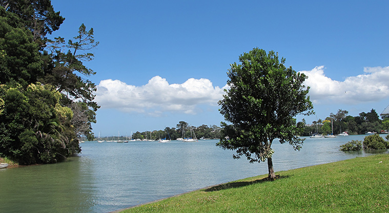
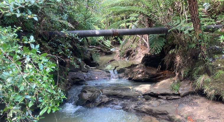
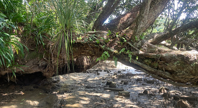
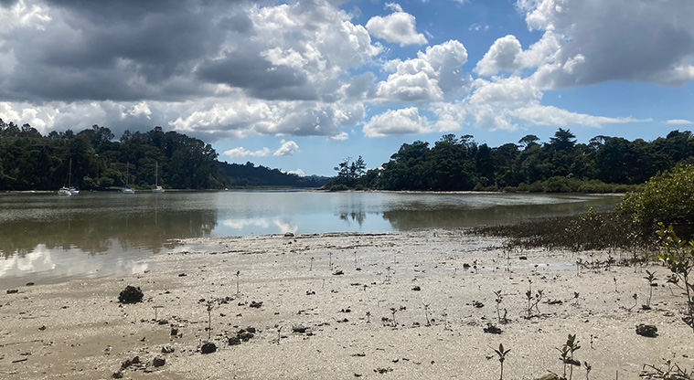
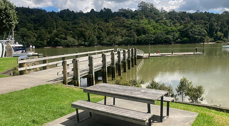
Experience beautiful scenery when you tackle the last part of the walk. The track is narrow as it follows alongside a mangrove filled stream. In the wet, it can be quite slippery in places, so some extra care may be required. As you come closer to the end of the track the stream widens as it joins into Auckland Harbour. At this point you can enjoy the views of the water, boats and wharf. When you are near the end, the track disappears onto the beach.
If it is high tide finish your walk here. Alternatively you can carefully make your way along the coastline for about 30-40m to reach the wharf - just be careful on the slippery rocks.