Our online mapping services will be unavailable from 6pm-10pm on Wednesday 18 February.

Wattle Downs South Path
Wattle Downs South Path - Great paths for running or walking with prams.
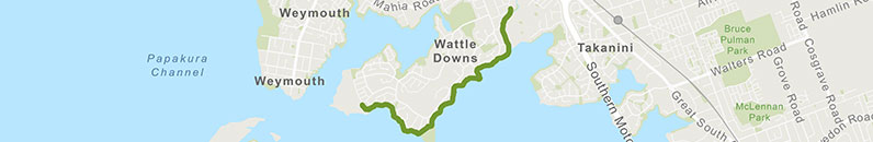
![]() Starts at 27 Frangipani Avenue, Manurewa
Starts at 27 Frangipani Avenue, Manurewa
About the path
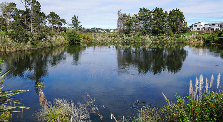
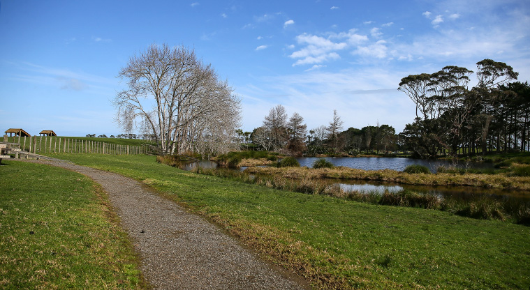
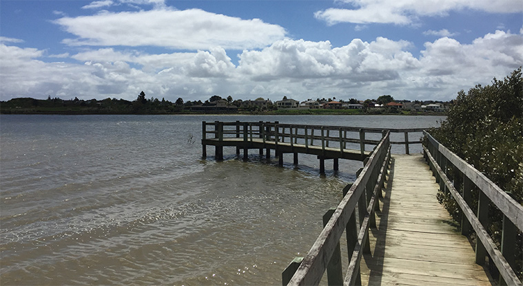
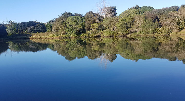
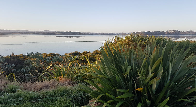
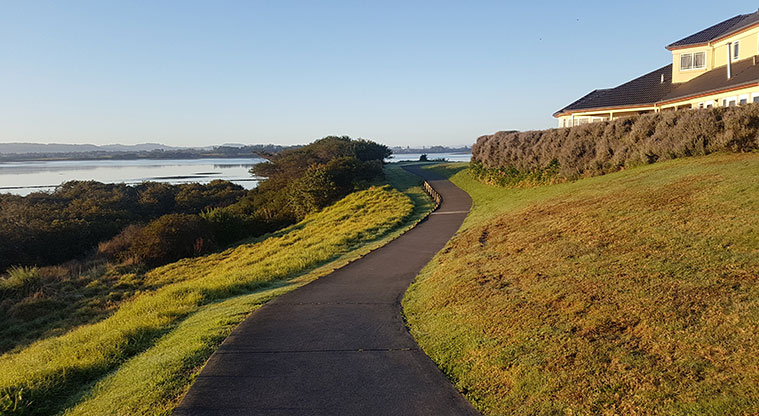
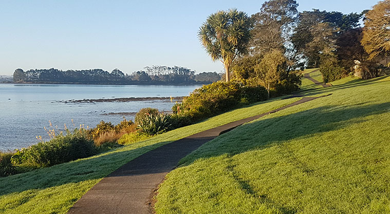
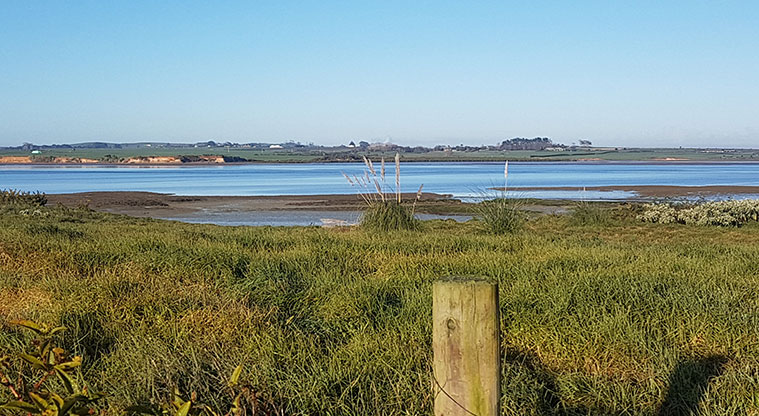
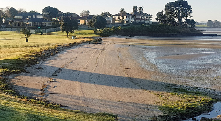
A peaceful walk or ride around a picturesque part of the Manukau Harbour coastline. The pathway follows the coast around the edge of the Wattle Downs peninsula and offers beautiful coastal views.
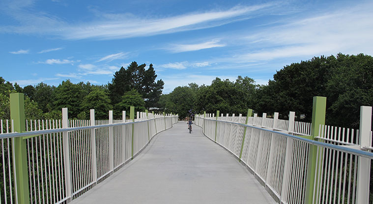
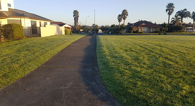
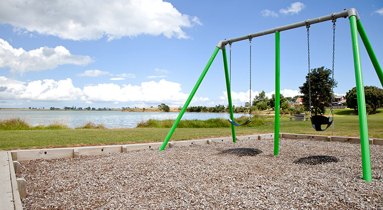
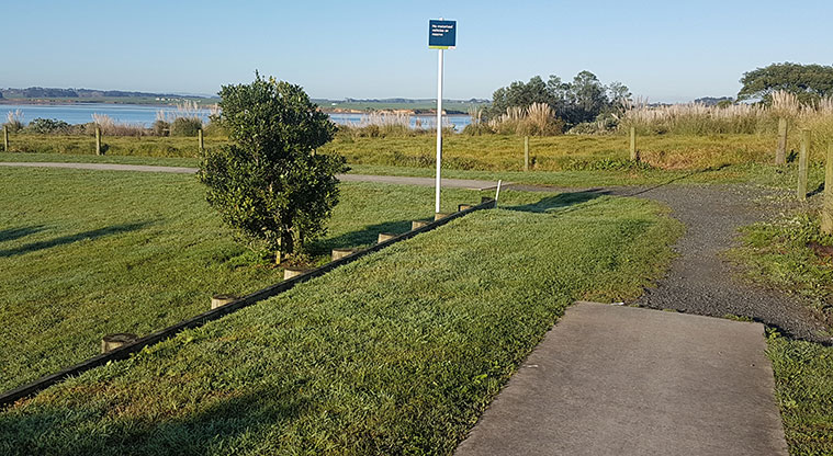
The fully paved path is mostly flat with a few small hills. It's a favourite with local families, and is suitable for all ages and abilities. The track is suitable for pushchairs and bikes - and there is a small playground at Pāpākiri / Saint Annes Foreshore at the southern end for kids to let off some steam.
The path has many seats and picnic tables for you to grab a bite to eat and admire the stunning views of the Manukau Harbour and Manukau Heads. Look out for wading birds like the tōrea (oystercatcher) and the white-faced heron.
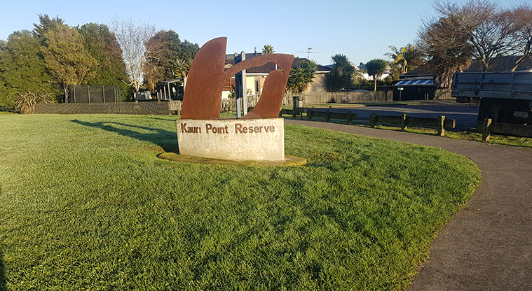
The suggested starting point is at the end of Frangipani Avenue (find a car park at this point or on one of the nearby streets). There are also access points off Glenross and Carnoustie drives if you want to have a shorter walk or cycle.
You can also choose to start at the southern end of the path, at the entrance walkway at 44 Sunningdale Street or at several access points on one of the neighbouring streets.
The wind can whistle in winter so bring your jacket.
You can extend your journey up to the Wattle Downs North Path by riding a short 400m on-road section on quiet residential streets.
Bear in mind that there are no public toilets along the route. The nearest public toilets are located in the Wattle Down Farm Reserve, several hundred metres from the start and finish points of the pathway.