Cycling time 60 mins
Distance 15 km
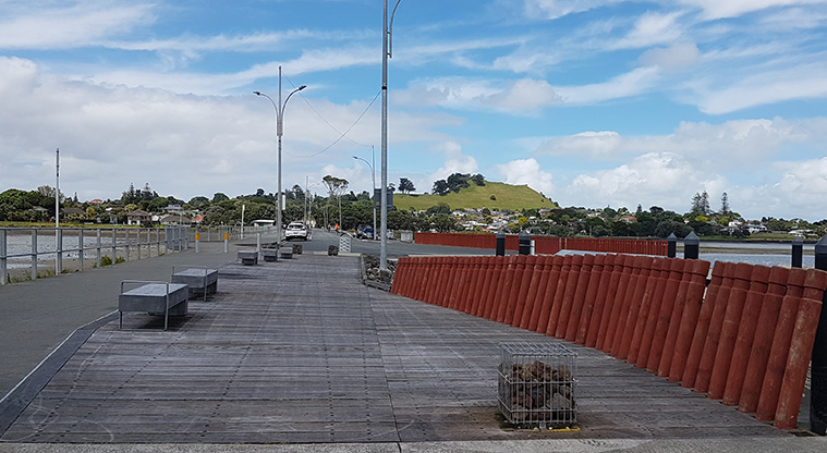
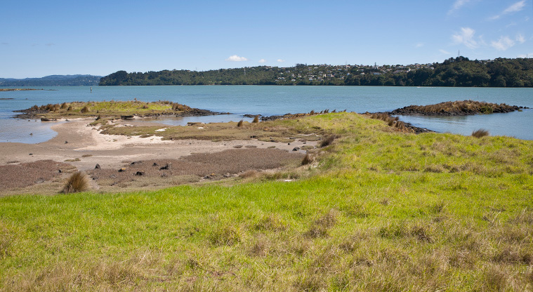
Ambury to Waikaraka Path - view looking back to Mangere Mountain from the old Mangere Bridge.
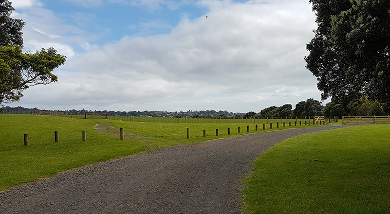
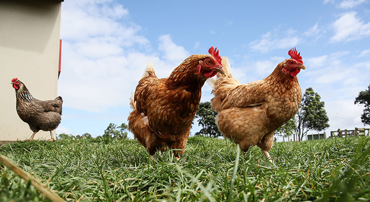
Ambury to Waikaraka Path - Ambury Farm Regional Park entrance to Kiwi Esplanade.
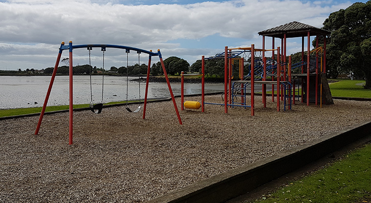
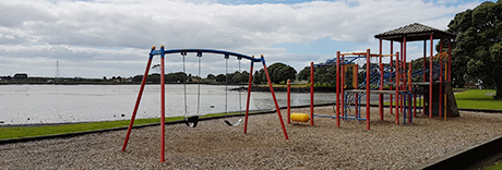
Ambury to Waikaraka Path - Playground near the Mangere Boating Club on Kiwi Esplanade Reserve.
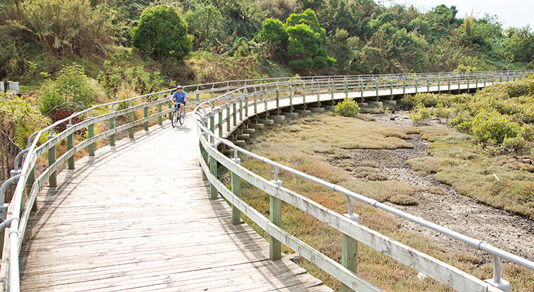
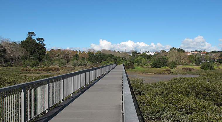
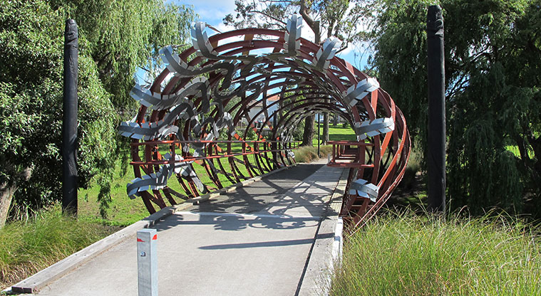
Ambury to Waikaraka Path - Old Mangere Bridge.
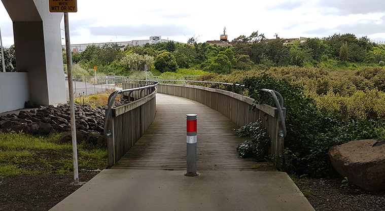
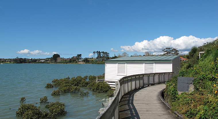
Ambury to Waikaraka Path - Boardwalk entry at Onehunga.
Ambury to Waikaraka Path - Boardwalk access at Onehunga.
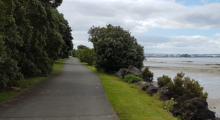
Ambury to Waikaraka Path - Path through Kiwi Esplanade Reserve on the northern coast of Manukau Harbour.
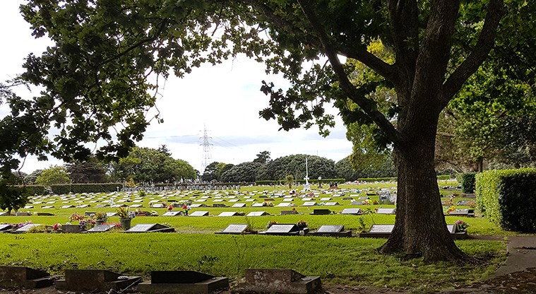
Ambury to Waikaraka Path - Waikaraka Cemetery.
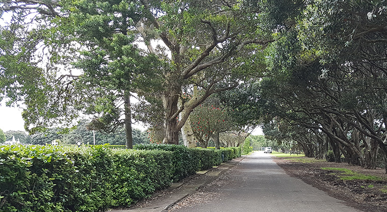
Ambury to Waikaraka Path - Tree lined avenue near Waikaraka Cemetery.
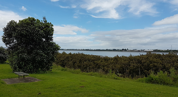
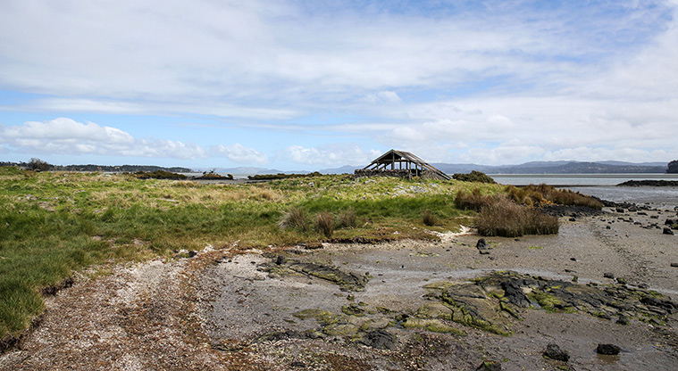
Ambury to Waikaraka Path - Manukau Harbour viewed from Waikaraka.
Show path map
Starts at 43 Ambury Road, Mangere Bridge
Get directions on Google Maps
This path is 15km there and back, so make sure you pack plenty of water for your ride.
The route goes through the Kiwi Esplanade Reserve, where the path continues around the shoreline. This section of the path is narrow so ride slowly and give way to pedestrians. Signage for the cycle/walkway alongside SH20 Manukau Harbour will guide you across to the second part of the path.
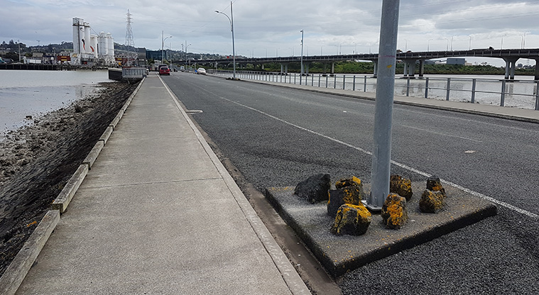
On the Onehunga side, flat concrete path hugs the Upper Manukau Harbour and passes alongside the Waikaraka Cemetery. The wide path has a smooth concrete surface that makes cycling or walking easy. Once you reach Hugo Johnston Drive, turnaround and head back to Ambury Regional Park.
Cycling 40 mins
Distance 3.2 km
Cycling 120 mins
Distance 18 km
Cycling 90 mins
Distance 14 km
Māngere Bridge
Regional park and working farm along Manukau Harbour.
Coastal park with views over the Manukau Harbour, a playground, toilets, picnic tables and seating, car park, basketball half-court, and a boat ramp.
Is the information on this page helpful?
Thanks for your feedback
You will not receive a reply. Do not include personal information.
Skip Send
To ask for help or report a problem with our services or facilities, contact us.