How to print property rates and reports in GeoMaps
Step 1: Enter the address in the Search and Find toolbar. Note the 'Property' option will default in the left hand menu.

Step 2: Choose the type of report you want by changing the selection in the left-hand menu to either Property or Rates Assessment.
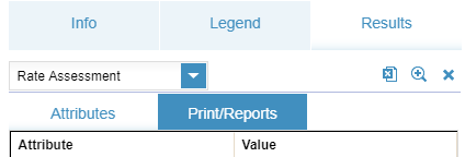
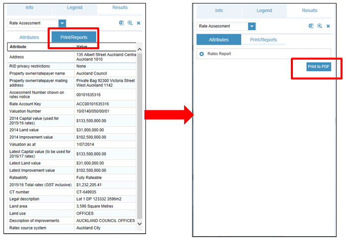
Step 3: Select Print/Reports.
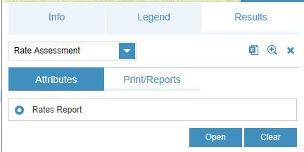
Step 4: Select the Rates Report and press Print to PDF.
Step 5: When the report is ready, select Open. To save, right-click the mouse and enter the save options.
Standard and non-standard printing
There are two printing options:
Standard printing
The standard or screen option will print exactly what is on your screen.
Enter a title and select the appropriate print details including whether you require a legend or not.
Non-standard printing options
Changing the printing option from standard will display two predefined print templates including:
- Underground services
- Underground Services combined.
Official Unitary Plan map prints
Official Unitary Plan map prints are available through the Auckland Unitary Plan GeoMaps viewer.
Standard printing is referred to as Screen Map print in the Auckland Unitary Plan GeoMaps viewer.
